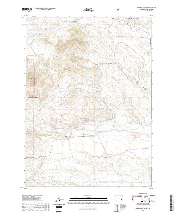
2021 Map of Johnson Mountain
USGS Topo · Published 2021About this map
Johnson Mtn and Sheep Mtn define the high country of Platte County in this contemporary study of the Laramie Range's eastern foothills. A portion of the Medicine Bow National Forest covers the western slopes, where the Devils Washtub Trl and Sheep Mt Rd navigate the steep grades of the forest boundary. The landscape is fundamentally shaped by water management and ranching infrastructure, evidenced by the complex network of irrigation systems including the N Laramie Canal, Mitchell Ditch, and Merkel Ditch Number 1. These man-made channels divert water from the N Laramie River and Dry Laramie River to support the high plains. Local transit relies on established routes like Fletcher Park Rd and Van Ortwick Hill Rd, which connect the scattered canyons and creek drainages such as Rabbit Cr and Camp Cr.
Find a feature on this map
31 named features on this map. Tap any name to fly to it.
Don’t see what you’re looking for? This feature index may not catch every label — zoom into the map to look around manually.
Map Details
Editions of this 2021 Johnson Mountain Map
This is the sole edition of this map. No revisions or reprints were ever made.
Other maps of this area

1943 · Esterbrook
USGS Topo · 1:62,500

1945 · Esterbrook
USGS Topo · 1:62,500

1950 · Coleman Butte
USGS Topo · 1:24,000

1950 · Cottonwood Falls
USGS Topo · 1:24,000

1951 · Coleman Butte
USGS Topo · 1:24,000

1951 · Cottonwood Falls
USGS Topo · 1:24,000

1953 · Lewis Flat
USGS Topo · 1:24,000

1953 · Hightower
USGS Topo · 1:24,000

1953 · Hightower SW
USGS Topo · 1:24,000

1953 · Johnson Mountain
USGS Topo · 1:24,000