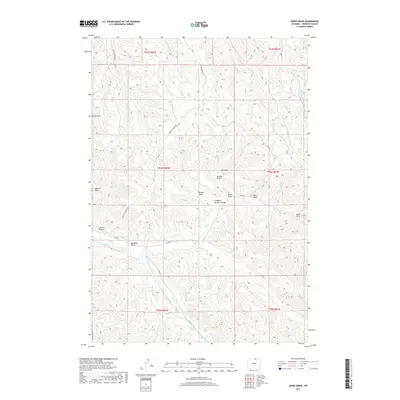
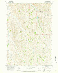
2017 Map of Jones Draw
USGS Topo · Published 2017About this map
Arkansas Cr and Jim Crow Cr flow through this expansive drainage system in Sheridan County, Wyoming. The terrain is defined by a dense network of coulees and draws that speak to the ranching and livestock history of the region. Family names and local identifiers are preserved in landmarks such as Lanbaugh Number 4 Draw, Baxter Draw, and Sears Draw, providing valuable geographic context for genealogists tracing ancestral land use.
Find a feature on this map
31 named features on this map. Tap any name to fly to it.
Don’t see what you’re looking for? This feature index may not catch every label — zoom into the map to look around manually.
Map Details
Editions of this 2017 Jones Draw Map
This is the sole edition of this map. No revisions or reprints were ever made.
Other maps of this area

1909 · Sheridan
USGS Topo · 1:125,000

1911 · Sheridan
USGS Topo · 1:125,000

1955 · Sheridan
USGS Topo · 1:250,000

1958 · Sheridan
USGS Topo · 1:250,000

1962 · Sheridan
USGS Topo · 1:250,000

1967 · Buffalo Run Creek
USGS Topo · 1:24,000
1968 · Bar N Draw
USGS Topo · 1:24,000
1968 · Wyarno
USGS Topo · 1:24,000
1970 · O T O Ranch
USGS Topo · 1:24,000
1970 · Verona
USGS Topo · 1:24,000