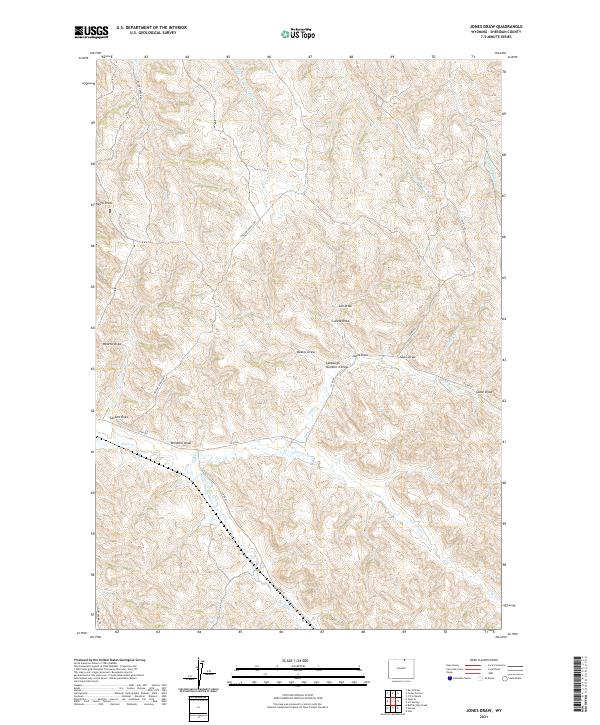
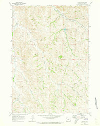
2021 Map of Jones Draw
USGS Topo · Published 2021About this map
S R Cr and Arkansas Cr carve through this section of Sheridan County, defining a landscape dominated by complex drainage systems and traditional ranching boundaries. The map illustrates a high density of named ephemeral watercourses, such as Wyarno Draw, Negro Draw, and Jones Draw, which reveal the intricate topography of the Powder River Basin. These features, along with family-named landmarks like Lanbaugh Number 4 Draw, provide a granular look at the local geography used by generations of land managers.
Find a feature on this map
32 named features on this map. Tap any name to fly to it.
Don’t see what you’re looking for? This feature index may not catch every label — zoom into the map to look around manually.
Map Details
Editions of this 2021 Jones Draw Map
This is the sole edition of this map. No revisions or reprints were ever made.
Other maps of this area

1909 · Sheridan
USGS Topo · 1:125,000

1911 · Sheridan
USGS Topo · 1:125,000

1955 · Sheridan
USGS Topo · 1:250,000

1958 · Sheridan
USGS Topo · 1:250,000

1962 · Sheridan
USGS Topo · 1:250,000

1967 · Buffalo Run Creek
USGS Topo · 1:24,000
1968 · Bar N Draw
USGS Topo · 1:24,000
1968 · Wyarno
USGS Topo · 1:24,000
1970 · O T O Ranch
USGS Topo · 1:24,000
1970 · Verona
USGS Topo · 1:24,000