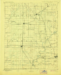
1894 Map of Joplin
USGS Topo · Published 1908About this map
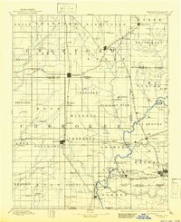
Pittsburg and the surrounding Tri-State district emerge as a dense hub of transport and settlement during the late nineteenth-century mining boom. This 1884 survey, reprinted in the early 1900s, shows the complex network of railroads including the St. Louis and San Francisco Railroad and the Kansas City Southern R. R. converging on coal and mineral centers. The map documents a landscape divided by township lines and the state boundaries between Kansas, Missouri, and what was then Indian Territory. Small rail-dependent communities like Scammon, Frontenac, and Opolis dot the prairie, while Baxter Springs and Galena anchor the southern portion of the sheet. Notable water features like Shoal Creek and Lightning Creek provide the primary drainage for the agricultural and industrial terrain of Crawford and Cherokee counties.
Find a feature on this map
107 named features on this map. Tap any name to fly to it.
Don’t see what you’re looking for? This feature index may not catch every label — zoom into the map to look around manually.
Map Details
Editions of this 1894 Joplin Map
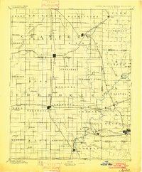
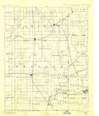
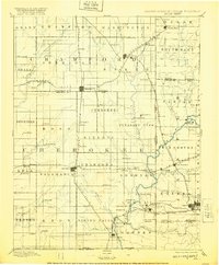
6 editions found

Other maps of this area

1884 · Fort Scott
USGS Topo · 1:125,000

1886 · Nevada
USGS Topo · 1:125,000

1886 · Joplin
USGS Topo · 1:125,000

1886 · Iola
USGS Topo · 1:125,000

1886 · Fort Scott
USGS Topo · 1:125,000

1886 · Carthage
USGS Topo · 1:125,000

1886 · Parsons
USGS Topo · 1:125,000

1893 · Fort Scott
USGS Topo · 1:125,000

1893 · Iola
USGS Topo · 1:125,000

1893 · Parsons
USGS Topo · 1:125,000