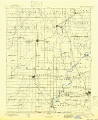
1894 Map of Joplin
USGS Topo · Published 1941About this map
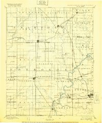
The tri-state borderlands of Kansas, Missouri, and Oklahoma emerge as a bustling industrial corridor in this late 19th-century reconnaissance. The landscape is defined by a dense lattice of competing rail lines, including the St. Louis & San Francisco RR and the Kansas City Southern RR, which serve a growing network of mining hubs and agricultural centers. Prominent settlements like Pittsburg and Galena anchor the region, while smaller stops such as Minden Mines and Frontenac illustrate the early development of the coal and lead mining districts.
Find a feature on this map
110 named features on this map. Tap any name to fly to it.
Don’t see what you’re looking for? This feature index may not catch every label — zoom into the map to look around manually.
Map Details
Editions of this 1894 Joplin Map
6 editions found

Other maps of this area

1884 · Fort Scott
USGS Topo · 1:125,000

1886 · Nevada
USGS Topo · 1:125,000

1886 · Joplin
USGS Topo · 1:125,000

1886 · Iola
USGS Topo · 1:125,000

1886 · Fort Scott
USGS Topo · 1:125,000

1886 · Carthage
USGS Topo · 1:125,000

1886 · Parsons
USGS Topo · 1:125,000

1893 · Fort Scott
USGS Topo · 1:125,000

1893 · Iola
USGS Topo · 1:125,000

1893 · Parsons
USGS Topo · 1:125,000