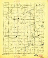
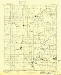
1894 Map of Joplin
USGS Topo · Published 1901About this map
The tri-state borderlands of Kansas, Missouri, and the Indian Territory converge in this 1884 survey, capturing the region's rapid industrialization through its dense rail network and burgeoning mining towns. Pittsburg and Joplin emerge as primary hubs, connected by a complex web of lines including the Kansas City Fort Scott and Gulf Railroad and the St. Louis & San Francisco Railroad. The landscape is etched with local history, from the Ozark terrain in the northeast to the various townships like Sheridan, Pleasant View, and Spring Valley.
Find a feature on this map
107 named features on this map. Tap any name to fly to it.
Don’t see what you’re looking for? This feature index may not catch every label — zoom into the map to look around manually.
Map Details
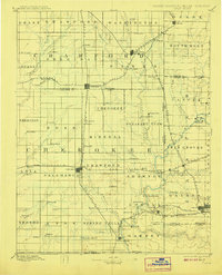
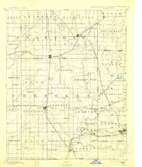
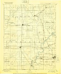
Editions of this 1894 Joplin Map
6 editions found

Other maps of this area

1884 · Fort Scott
USGS Topo · 1:125,000

1886 · Nevada
USGS Topo · 1:125,000

1886 · Joplin
USGS Topo · 1:125,000

1886 · Iola
USGS Topo · 1:125,000

1886 · Fort Scott
USGS Topo · 1:125,000

1886 · Carthage
USGS Topo · 1:125,000

1886 · Parsons
USGS Topo · 1:125,000

1893 · Fort Scott
USGS Topo · 1:125,000

1893 · Iola
USGS Topo · 1:125,000

1893 · Parsons
USGS Topo · 1:125,000