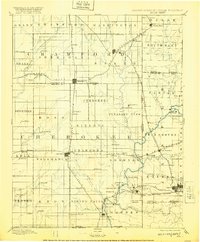
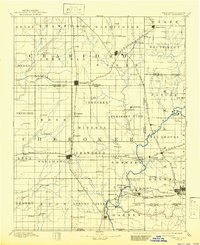
1894 Map of Joplin
USGS Topo · Published 1920About this map
Pittsburg and the surrounding tri-state mining district appear here during a period of rapid industrial expansion. This late nineteenth-century survey, based on 1884 topography, details the complex network of railroads including the Kansas City Fort Scott and Memphis Railroad and the St. Louis and San Francisco Railroad that fueled the region's extraction economy. The landscape is defined by small coal and mineral settlements such as Minden Mines, Litchfield, and Frontenac, interspersed with agricultural townships like Pleasant View and Sheridan. To the south, the map indicates the proximity of Kansas Indian Territory, reflecting a significant jurisdictional boundary of the era. Watercourses like Shoal Creek and Lightning Creek bisect the rolling terrain, while the developing street grids of Carl Junction and Cherokee suggest the early urbanization that accompanied the mining boom.
Find a feature on this map
104 named features on this map. Tap any name to fly to it.
Don’t see what you’re looking for? This feature index may not catch every label — zoom into the map to look around manually.
Map Details
Editions of this 1894 Joplin Map
6 editions found

Other maps of this area

1884 · Fort Scott
USGS Topo · 1:125,000

1886 · Nevada
USGS Topo · 1:125,000

1886 · Joplin
USGS Topo · 1:125,000

1886 · Iola
USGS Topo · 1:125,000

1886 · Fort Scott
USGS Topo · 1:125,000

1886 · Carthage
USGS Topo · 1:125,000

1886 · Parsons
USGS Topo · 1:125,000

1893 · Fort Scott
USGS Topo · 1:125,000

1893 · Iola
USGS Topo · 1:125,000

1893 · Parsons
USGS Topo · 1:125,000