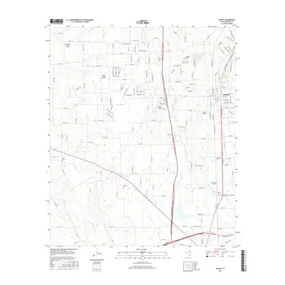
2016 Map of Joshua
USGS Topo · Published 2016About this map
Joshua stands as a focal point in this 2016 survey, showcasing a community defined by its intersection of major modern thoroughfares and historic landmarks. The Chisolm Trail Pkwy bisects the landscape, providing a stark contrast to the natural topography of the Nolan River and Martin Br. This era represents a period of significant local infrastructure, where traditional cemetery sites like Old Lane Prairie Cem and Buchanan Cem remain preserved alongside modern commercial and aviation developments. The local terrain is punctuated by distinctive elevations such as Caddo Peak and Brushy Knob, which overlook a network of small private landing strips, including Buffalo Chips Airpark and Blackwood Airpark. These aviation features, clustered around the settlement, suggest a unique pattern of suburban and rural transit distinct to this part of Johnson County.
Find a feature on this map
31 named features on this map. Tap any name to fly to it.
Don’t see what you’re looking for? This feature index may not catch every label — zoom into the map to look around manually.
Map Details
Editions of this 2016 Joshua Map
This is the sole edition of this map. No revisions or reprints were ever made.
Other maps of this area

1889 · Granbury
USGS Topo · 1:125,000

1891 · Weatherford
USGS Topo · 1:125,000

1891 · Cleburne
USGS Topo · 1:125,000

1893 · Weatherford
USGS Topo · 1:125,000

1894 · Cleburne
USGS Topo · 1:125,000

1894 · Fort Worth
USGS Topo · 1:125,000

1928 · Godley
USGS Topo · 1:62,500

1954 · Dallas
USGS Topo · 1:250,000

1955 · Burleson
USGS Topo · 1:24,000

1955 · Primrose
USGS Topo · 1:24,000