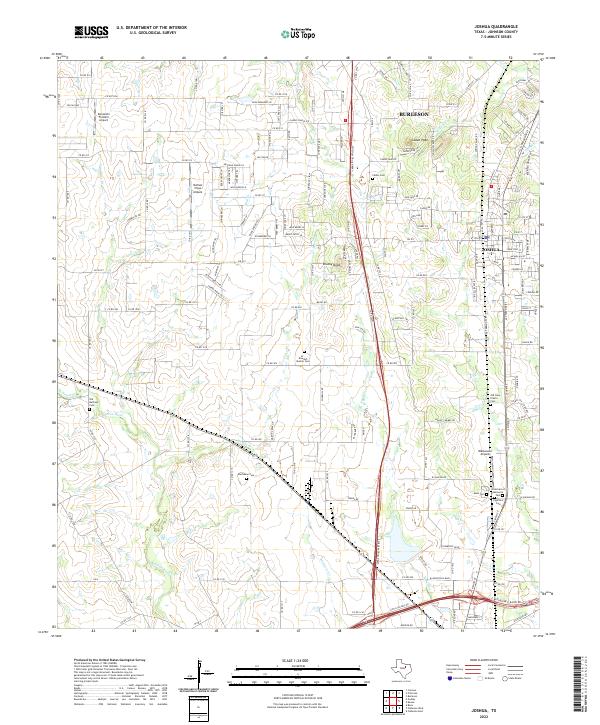
2022 Map of Joshua
USGS Topo · Published 2022About this map
The northern edge of Burleson and the city of Joshua anchor this detailed study of the Johnson County landscape. Centered around the prominent height of Caddo Peak, the terrain is defined by the drainage basins of the Nolan River and Village Creek. This map reveals a community where rural tradition meets modern transit, with the BNSF Railway running parallel to a dense network of country roads. Numerous burial grounds, such as Old Bethany Cem and the Ar - Rawdah Muslim Cem, provide critical data points for genealogists tracing local family history. Small aviation hubs like Blackwood Airpark and Buffalo Chips Airpark highlight the area's mix of private land use and residential development between the larger population centers.
Find a feature on this map
159 named features on this map. Tap any name to fly to it.
Don’t see what you’re looking for? This feature index may not catch every label — zoom into the map to look around manually.
Map Details
Editions of this 2022 Joshua Map
This is the sole edition of this map. No revisions or reprints were ever made.
Other maps of this area

1889 · Granbury
USGS Topo · 1:125,000

1891 · Weatherford
USGS Topo · 1:125,000

1891 · Cleburne
USGS Topo · 1:125,000

1893 · Weatherford
USGS Topo · 1:125,000

1894 · Cleburne
USGS Topo · 1:125,000

1894 · Fort Worth
USGS Topo · 1:125,000

1928 · Godley
USGS Topo · 1:62,500

1954 · Dallas
USGS Topo · 1:250,000

1955 · Burleson
USGS Topo · 1:24,000

1955 · Primrose
USGS Topo · 1:24,000