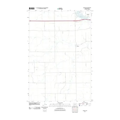
2011 Map of Judson
USGS Topo · Published 2011About this map
Judson sits at the center of this rural Morton County landscape, a community defined by its proximity to the Northern Pacific railway corridor and a grid of section-line roads. The northern edge of the map is dominated by the waters of Sweet Briar Lake, which was formed by the Sweet Briar Creek Dam along Sweet Briar Creek. This area illustrates the typical Great Plains settlement pattern, where small towns like Judson served as local hubs for a vast network of outlying homesteads. The topography is marked by the winding drainage of Sweet Briar Creek, which cuts through the higher ground near County Rd-139, creating a distinct contrast between the flat upland fields and the more varied terrain of the stream valley.
Find a feature on this map
18 named features on this map. Tap any name to fly to it.
Don’t see what you’re looking for? This feature index may not catch every label — zoom into the map to look around manually.
Map Details
Editions of this 2011 Judson Map
This is the sole edition of this map. No revisions or reprints were ever made.
Other maps of this area

1954 · Bismarck
USGS Topo · 1:250,000

1958 · Bismarck
USGS Topo · 1:250,000

1960 · New Salem
USGS Topo · 1:24,000

1970 · New Salem NW
USGS Topo · 1:24,000

1970 · Judson
USGS Topo · 1:24,000

1970 · New Salem NE
USGS Topo · 1:24,000

1972 · Sweet Briar
USGS Topo · 1:24,000

1972 · Crown Butte NW
USGS Topo · 1:24,000

1980 · Green Ridge
USGS Topo · 1:24,000

1980 · Almont East
USGS Topo · 1:24,000