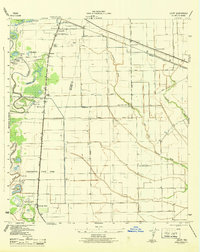
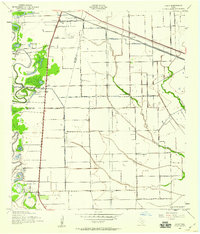
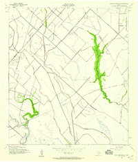
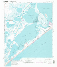
1943 Map of Juliff
USGS Topo · Published 1943This historical map portrays the area of Juliff in 1943, primarily covering Brazoria County as well as portions of Fort Bend County. Featuring a scale of 1:31680, this map provides a highly detailed snapshot of the terrain, roads, buildings, counties, and historical landmarks in the Juliff region at the time. Published in 1943, it is one of 2 known editions of this map due to revisions or reprints.
Find a feature on this map
39 named features on this map. Tap any name to fly to it.
Don’t see what you’re looking for? This feature index may not catch every label — zoom into the map to look around manually.
Map Details
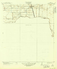
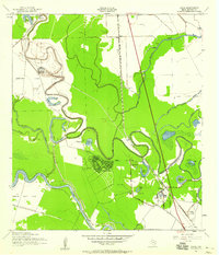
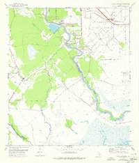
Editions of this 1943 Juliff Map
2 editions found
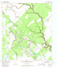
Historical Maps of Manvel Through Time
17 maps found
1920 Mykawa
Brazoria County, TX
1932 Mustang Bayou
Brazoria County, TX

1943 Cedar Lakes East
Brazoria County, TX

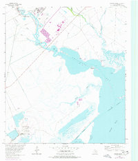
1943 Chocolate Bay
Brazoria County, TX

1943 Chocolate Bayou
Brazoria County, TX

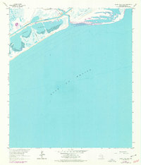
1943 Christmas Point
Brazoria County, TX
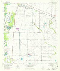
1943 Juliff
Brazoria County, TX
1943 Mustang Bayou
Brazoria County, TX
1943 Snipe
Brazoria County, TX
1952 Cedar Lane NE
Brazoria County, TX
1952 Danciger
Brazoria County, TX

1953 Otey
Brazoria County, TX
1963 Hoskins Mound
Brazoria County, TX
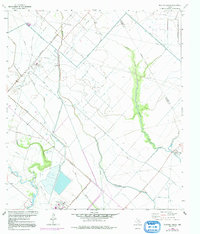
1963 Juliff
Brazoria County, TX
1963 Mustang Bayou
Brazoria County, TX
1964 Cedar Lakes East
Brazoria County, TX
1965 Christmas Point
Brazoria County, TX