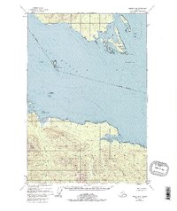
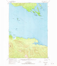
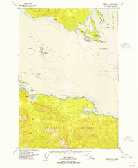
1948 Map of Juneau A-4
USGS Topo · Published 1977About this map
Chichagof Island and the rugged shoreline of the Tongass National Forest anchor this mid-century survey of Alaska's maritime wilderness. The map details the complex navigational hazards of the Icy Strait and Lynn Canal, including the isolated outpost at The Sisters and the strategic entrance to Swanson Harbor near Pt Couverden. While primarily an uninhabited coastal landscape, scattered cabin and cabins labels indicate the remote seasonal dwellings of trappers, fishers, or indigenous residents of the era.
Find a feature on this map
30 named features on this map. Tap any name to fly to it.
Don’t see what you’re looking for? This feature index may not catch every label — zoom into the map to look around manually.
Map Details
Editions of this 1948 Juneau A-4 Map
4 editions found

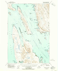
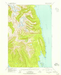
Other maps of this area
1947 · Juneau B-3
USGS Topo · 1:63,360
1948 · Juneau B-4
USGS Topo · 1:63,360

1948 · Juneau A-3
USGS Topo · 1:63,360
1948 · Juneau A-4
USGS Topo · 1:63,360

1948 · Juneau B-5
USGS Topo · 1:63,360

1948 · Sitka D-5
USGS Topo · 1:63,360

1948 · Sitka D-3
USGS Topo · 1:63,360

1948 · Sitka D-4
USGS Topo · 1:63,360

1949 · Juneau B-3
USGS Topo · 1:62,500
1949 · Juneau B-4
USGS Topo · 1:63,360