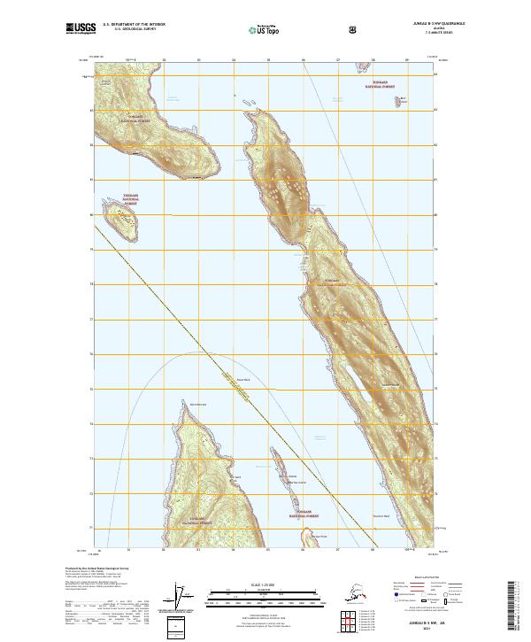
2021 Map of Juneau B-3 NW
USGS Topo · Published 2021About this map
Shelter Island dominates the center of this maritime survey, surrounded by the intricate waterways of the Tongass National Forest. Located at the southern convergence of Lincoln Anchorage and the Favorite Channel, the area is defined by its navigation hazards and natural harbors. A municipal boundary bisects the waters, separating the Juneau City and Borough from the Hoonah-Angoon Census Area.
Find a feature on this map
23 named features on this map. Tap any name to fly to it.
Don’t see what you’re looking for? This feature index may not catch every label — zoom into the map to look around manually.
Map Details
Editions of this 2021 Juneau B-3 NW Map
This is the sole edition of this map. No revisions or reprints were ever made.
Other maps of this area

1947 · Juneau B-3
USGS Topo · 1:63,360

1948 · Juneau B-4
USGS Topo · 1:63,360

1948 · Juneau C-4
USGS Topo · 1:63,360

1949 · Juneau B-3
USGS Topo · 1:62,500

1949 · Juneau C-4
USGS Topo · 1:63,360

1949 · Juneau B-4
USGS Topo · 1:63,360

1951 · Juneau
USGS Topo · 1:250,000

1951 · Juneau C-3
USGS Topo · 1:63,360

1952 · Juneau C-3
USGS Topo · 1:63,360

1962 · Juneau B-3
USGS Topo · 1:63,360