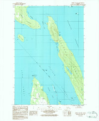
1986 Map of Juneau B-3 NW
USGS Topo · Published 1987About this map
Point Retreat Lighthouse stands at the northern tip of the Mansfield Peninsula on Admiralty Island, serving as a critical navigational waypoint where the Lynn Canal meets the Saginaw Channel. This mid-1980s survey illustrates the intricate maritime geography of the City and Borough of Juneau, where the deep waters of the Favorite Channel separate the mainland from substantial landmasses like Shelter Island and Lincoln Island.
Find a feature on this map
30 named features on this map. Tap any name to fly to it.
Don’t see what you’re looking for? This feature index may not catch every label — zoom into the map to look around manually.
Map Details
Editions of this 1986 Juneau B-3 NW Map
This is the sole edition of this map. No revisions or reprints were ever made.
Other maps of this area

1947 · Juneau B-3
USGS Topo · 1:63,360

1948 · Juneau B-4
USGS Topo · 1:63,360

1948 · Juneau C-4
USGS Topo · 1:63,360

1949 · Juneau B-3
USGS Topo · 1:62,500

1949 · Juneau C-4
USGS Topo · 1:63,360

1949 · Juneau B-4
USGS Topo · 1:63,360

1951 · Juneau
USGS Topo · 1:250,000

1951 · Juneau C-3
USGS Topo · 1:63,360

1952 · Juneau C-3
USGS Topo · 1:63,360

1962 · Juneau B-3
USGS Topo · 1:63,360