
1948 Map of Juneau D-3
USGS Topo · Published 1964About this map
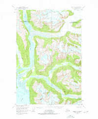
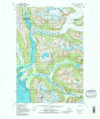
Tongass National Forest dominates this mid-century survey, showcasing a complex glacial and tidal landscape where river systems converge at the head of Berners Bay. The map captures the intricate drainage of the Lace River, Berners River, and Antler River as they weave through expansive glacial silt deposits labeled as Mud. This region, located north of Juneau, reflects a wilderness state in the late 1940s, with very little human infrastructure present. A solitary Cabin located near the western shoreline of the bay serves as the only evidence of settlement or temporary shelter in this remote terrain. The survey provides a clear view of the topographical transition from sea-level tidal flats to the steep coastal mountains that characterize this portion of the Alaska panhandle.
Find a feature on this map
7 named features on this map. Tap any name to fly to it.
Don’t see what you’re looking for? This feature index may not catch every label — zoom into the map to look around manually.
Map Details
Editions of this 1948 Juneau D-3 Map
3 editions found
Other maps of this area

1948 · Juneau C-4
USGS Topo · 1:63,360

1948 · Skagway A-1
USGS Topo · 1:63,360

1949 · Atlin
USGS Topo · 1:250,000

1949 · Juneau D-4
USGS Topo · 1:63,360

1949 · Juneau C-4
USGS Topo · 1:63,360

1949 · Juneau D-3
USGS Topo · 1:63,360

1951 · Juneau
USGS Topo · 1:250,000

1951 · Skagway A-1
USGS Topo · 1:63,360

1951 · Atlin
USGS Topo · 1:250,000

1951 · Juneau D-4
USGS Topo · 1:63,360