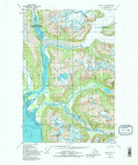
1948 Map of Juneau D-3
USGS Topo · Published 1995About this map
The confluence of the Lace River, Berners River, and Antler River creates a dynamic glacial drainage system where they meet at Berners Bay. This landscape, protected within the Tongass National Forest, is defined by the movement of ice and water, most notably the massive Antler Glacier feeding into the river networks below. A single Cabin located near the mouth of the Antler River represents the sparse human imprint on this wilderness at the time of the 1948 survey.
Find a feature on this map
12 named features on this map. Tap any name to fly to it.
Don’t see what you’re looking for? This feature index may not catch every label — zoom into the map to look around manually.
Map Details
Editions of this 1948 Juneau D-3 Map
3 editions found
Other maps of this area

1948 · Juneau C-4
USGS Topo · 1:63,360

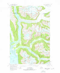
1948 · Juneau D-3
USGS Topo · 1:63,360

1948 · Skagway A-1
USGS Topo · 1:63,360

1949 · Atlin
USGS Topo · 1:250,000

1949 · Juneau D-4
USGS Topo · 1:63,360

1949 · Juneau C-4
USGS Topo · 1:63,360

1949 · Juneau D-3
USGS Topo · 1:63,360

1951 · Juneau
USGS Topo · 1:250,000

1951 · Skagway A-1
USGS Topo · 1:63,360

1951 · Atlin
USGS Topo · 1:250,000