
1949 Map of Juneau D-6
USGS Topo · Published 1959About this map
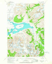
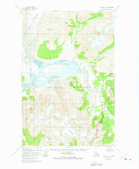
Glacier Bay National Monument dominates this mid-century topographic record, capturing a landscape defined by retreating ice and tidal waters. The survey illustrates the dramatic geography of Adams Inlet and the massive Casement Glacier, which feeds into the northeastern reaches of Glacier Bay. To the south, White Glacier flows toward the coast, framed by peaks such as Mt Case and Snow Dome. This map also documents the complex overlapping administrative boundaries of the era, where the national monument borders both the Tongass National Forest and the Chilkat National Forest. The eastern portion of the sheet follows the Endicott River drainage as it cuts through the Endicott Range, providing a detailed look at the hydrology of Endicott Lake and the Beartrack River before they reach the sea.
Find a feature on this map
15 named features on this map. Tap any name to fly to it.
Don’t see what you’re looking for? This feature index may not catch every label — zoom into the map to look around manually.
Map Details
Editions of this 1949 Juneau D-6 Map
3 editions found
Other maps of this area

1948 · Juneau C-5
USGS Topo · 1:63,360

1948 · Juneau C-6
USGS Topo · 1:63,360

1948 · Mount Fairweather D-1
USGS Topo · 1:63,360

1948 · Mount Fairweather C-1
USGS Topo · 1:63,360

1949 · Mount Fairweather C-1
USGS Topo · 1:63,360

1949 · Juneau D-5
USGS Topo · 1:63,360

1950 · Juneau C-6
USGS Topo · 1:63,360

1951 · Juneau
USGS Topo · 1:250,000

1951 · Mt Fairweather
USGS Topo · 1:250,000

1952 · Skagway
USGS Topo · 1:250,000