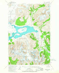
1949 Map of Juneau D-6
USGS Topo · Published 1967About this map
Glacier Bay National Monument dominates this mid-century Alaskan survey, revealing a landscape defined by retreating ice and raw geologic transition. The map provides a critical record of glacial movement, specifically noting the recession limits of the Casement Glacier and Adams Glacier as they appeared in 1966. These icy giants carve through the Chilkat Range, feeding into the tidal waters of Glacier Bay and Adams Inlet. The eastern portion of the sheet transitions from the high peaks of Tree Mountain and Mt Case into the drainage of the Endicott River. Unique topographical features like the Howling Valley and Granite Canyon illustrate the dramatic relief of the territory, while Endicott Lake sits at the foot of the Endicott Gap, marking a significant pass through the coastal mountains.
Find a feature on this map
22 named features on this map. Tap any name to fly to it.
Don’t see what you’re looking for? This feature index may not catch every label — zoom into the map to look around manually.
Map Details
Editions of this 1949 Juneau D-6 Map
3 editions found
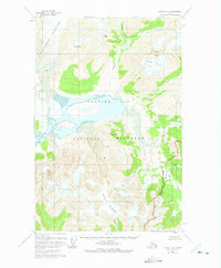
Other maps of this area

1948 · Juneau C-5
USGS Topo · 1:63,360

1948 · Juneau C-6
USGS Topo · 1:63,360

1948 · Mount Fairweather D-1
USGS Topo · 1:63,360

1948 · Mount Fairweather C-1
USGS Topo · 1:63,360

1949 · Mount Fairweather C-1
USGS Topo · 1:63,360

1949 · Juneau D-6
USGS Topo · 1:63,360

1949 · Juneau D-5
USGS Topo · 1:63,360

1950 · Juneau C-6
USGS Topo · 1:63,360

1951 · Juneau
USGS Topo · 1:250,000

1951 · Mt Fairweather
USGS Topo · 1:250,000