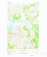
1949 Map of Juneau D-6
USGS Topo · Published 1975About this map
Casement Glacier and Adams Glacier dominate this wilderness survey, which documents the receding ice of the mid-20th century. Based on 1948 photography with 1972 revisions, the map identifies specific retreat limits for these massive ice bodies as of 1966. The landscape is a complex network of glacial valleys and inlets, including the prominent Adams Inlet and the waters of Glacier Bay.
Find a feature on this map
21 named features on this map. Tap any name to fly to it.
Don’t see what you’re looking for? This feature index may not catch every label — zoom into the map to look around manually.
Map Details
Editions of this 1949 Juneau D-6 Map
3 editions found
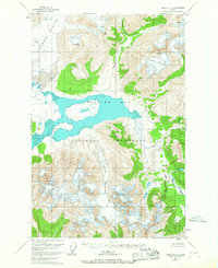
Other maps of this area

1948 · Juneau C-5
USGS Topo · 1:63,360

1948 · Juneau C-6
USGS Topo · 1:63,360

1948 · Mount Fairweather D-1
USGS Topo · 1:63,360

1948 · Mount Fairweather C-1
USGS Topo · 1:63,360

1949 · Mount Fairweather C-1
USGS Topo · 1:63,360

1949 · Juneau D-6
USGS Topo · 1:63,360

1949 · Juneau D-5
USGS Topo · 1:63,360

1950 · Juneau C-6
USGS Topo · 1:63,360

1951 · Juneau
USGS Topo · 1:250,000

1951 · Mt Fairweather
USGS Topo · 1:250,000