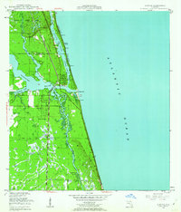
1948 Map of Jupiter
USGS Topo · Published 1962About this map
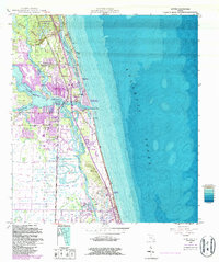
The Loxahatchee River and its intricate tributaries define the coastal landscape of this 1948 survey, where the Florida East Coast railroad provides a central axis for the growing town of Jupiter. This era captures the area just after the war, showing a blend of maritime history and military presence. The Jupiter Lighthouse Reservation stands prominently at the confluence near Jupiter Inlet, situated adjacent to the US Navy Marine Base.
Find a feature on this map
24 named features on this map. Tap any name to fly to it.
Don’t see what you’re looking for? This feature index may not catch every label — zoom into the map to look around manually.
Map Details
Editions of this 1948 Jupiter Map
5 editions found
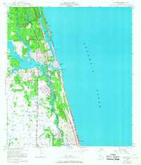
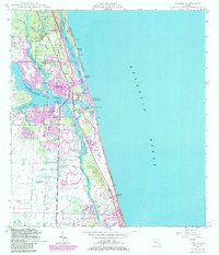
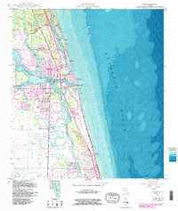
Other maps of this area
1945 · Delta
USGS Topo · 1:24,000
1946 · Riviera Beach
USGS Topo · 1:24,000
1948 · Rood
USGS Topo · 1:24,000
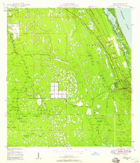
1948 · Gomez
USGS Topo · 1:24,000
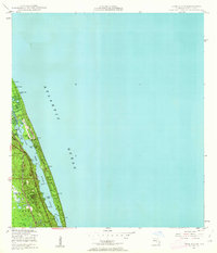
1948 · Hobe Sound
USGS Topo · 1:24,000
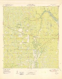
1949 · Rood
USGS Topo · 1:24,000
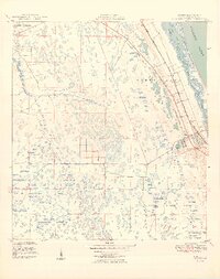
1949 · Gomez
USGS Topo · 1:24,000
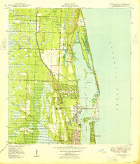
1949 · Riviera Beach
USGS Topo · 1:24,000
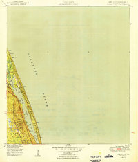
1949 · Hobe Sound
USGS Topo · 1:24,000
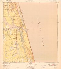
1950 · Jupiter
USGS Topo · 1:24,000