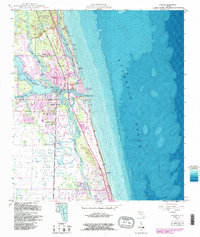
1948 Map of Jupiter
USGS Topo · Published 1986About this map
The Jupiter Inlet serves as the focal point for this coastal survey, where the Loxahatchee River meets the Atlantic Ocean. The landscape is defined by its complex waterways, including the Intracoastal Waterway and the narrow passage of Jupiter Sound. Along the shoreline, the Jupiter Inlet US Coast Guard Station stands near the Jupiter Inlet Beach Colony, marking a strategic maritime position.
Find a feature on this map
31 named features on this map. Tap any name to fly to it.
Don’t see what you’re looking for? This feature index may not catch every label — zoom into the map to look around manually.
Map Details
Editions of this 1948 Jupiter Map
5 editions found
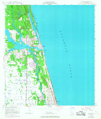
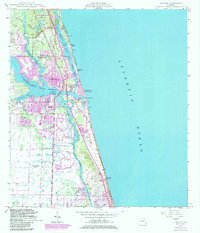
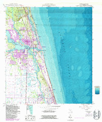
Other maps of this area

1945 · Delta
USGS Topo · 1:24,000

1946 · Riviera Beach
USGS Topo · 1:24,000

1948 · Rood
USGS Topo · 1:24,000

1948 · Gomez
USGS Topo · 1:24,000

1948 · Hobe Sound
USGS Topo · 1:24,000

1948 · Jupiter
USGS Topo · 1:24,000

1949 · Rood
USGS Topo · 1:24,000

1949 · Gomez
USGS Topo · 1:24,000

1949 · Riviera Beach
USGS Topo · 1:24,000

1949 · Hobe Sound
USGS Topo · 1:24,000