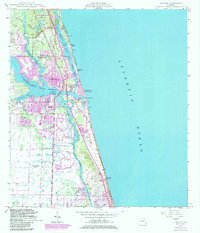
1948 Map of Jupiter
USGS Topo · Published 1983About this map
Jupiter Inlet serves as the focal point for this coastal survey, where the North Fork Loxahatchee River and Southwest Fork Loxahatchee River converge before meeting the sea. The landscape reflects a mid-century Florida in transition, showing the established tracks of the Florida East Coast railway alongside the expanding residential footprints of Jupiter and Tequesta. Notable maritime and civil infrastructure includes the Jupiter Inlet U S Coast Guard Station and the Radio Sta (WMR), while the Intracoastal Waterway cuts a protected path behind Jupiter Island. To the north, the preserved wilderness of Jonathan Dickinson State Park contrasts with the developing beachfronts of Jupiter Inlet Beach Colony and Juno Beach. Local history is anchored by the Jupiter Cem and Jupiter Sch, marking the community's mid-20th-century center.
Find a feature on this map
34 named features on this map. Tap any name to fly to it.
Don’t see what you’re looking for? This feature index may not catch every label — zoom into the map to look around manually.
Map Details
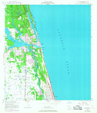
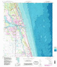
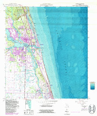
Editions of this 1948 Jupiter Map
5 editions found
Other maps of this area

1945 · Delta
USGS Topo · 1:24,000

1946 · Riviera Beach
USGS Topo · 1:24,000

1948 · Rood
USGS Topo · 1:24,000

1948 · Gomez
USGS Topo · 1:24,000

1948 · Hobe Sound
USGS Topo · 1:24,000

1948 · Jupiter
USGS Topo · 1:24,000

1949 · Rood
USGS Topo · 1:24,000

1949 · Gomez
USGS Topo · 1:24,000

1949 · Riviera Beach
USGS Topo · 1:24,000

1949 · Hobe Sound
USGS Topo · 1:24,000