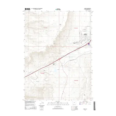
2015 Map of Kanda
USGS Topo · Published 2015About this map
White Mtn looms over the western edge of the High Desert landscape, defining the topography of this high-altitude corridor in southwestern Wyoming. The map documents the outward expansion of western Rock Springs, where suburban developments like Clearview Acres and Purple Sage meet the stark desert terrain. Significant infrastructure follows the natural drainage of Bitter Cr, including modern thoroughfares and remnants of the Old Lincoln Hwy.
Find a feature on this map
35 named features on this map. Tap any name to fly to it.
Don’t see what you’re looking for? This feature index may not catch every label — zoom into the map to look around manually.
Map Details
Editions of this 2015 Kanda Map
This is the sole edition of this map. No revisions or reprints were ever made.
Other maps of this area

1908 · Rock Springs
USGS Topo · 1:62,500

1910 · Rock Springs
USGS Topo · 1:62,500

1954 · Rock Springs
USGS Topo · 1:250,000

1957 · Firehole Basin
USGS Topo · 1:62,500

1958 · Rock Springs
USGS Topo · 1:250,000

1961 · Scott Spring
USGS Topo · 1:24,000

1961 · Pilot Butte
USGS Topo · 1:24,000

1961 · Kanda
USGS Topo · 1:24,000

1961 · Green River
USGS Topo · 1:24,000

1962 · Rock Springs
USGS Topo · 1:250,000