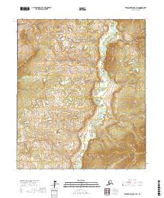
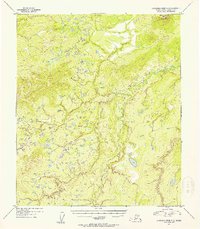
2017 Map of Kantishna River C-4 NE
USGS Topo · Published 2017About this map
Cosna River meanders through this interior Alaska landscape, defining the hydrological character of the Yukon-Koyukuk region. The river winds across the eastern and southern portions of the terrain, while Eden Lake sits as a prominent landmark in the western reaches. This area is characterized by a low-lying wetland and fluvial system, where the drainage patterns of the Cosna River create a complex network of seasonal water bodies and marshes. The lack of established roads or named settlements indicates a wilderness environment where geographic navigation relies entirely on these water features and the subtle elevation changes of the surrounding flats. Public land divisions across townships like t2s r21w and t3s r20w suggest a landscape primarily shaped by natural processes and federal land management rather than industrial or residential development.
Find a feature on this map
6 named features on this map. Tap any name to fly to it.
Don’t see what you’re looking for? This feature index may not catch every label — zoom into the map to look around manually.
Map Details
Editions of this 2017 Kantishna River C-4 NE Map
This is the sole edition of this map. No revisions or reprints were ever made.
Other maps of this area

1948 · Kantishna River
USGS Topo · 1:250,000

1951 · Kantishna River
USGS Topo · 1:250,000

1952 · Kantishna River
USGS Topo · 1:250,000

1952 · Kantishna River D-3
USGS Topo · 1:63,360

1952 · Kantishna River C-3
USGS Topo · 1:63,360

1952 · Kantishna River C-4
USGS Topo · 1:63,360
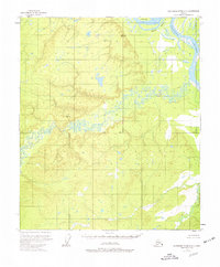
1953 · Kantishna River D-4
USGS Topo · 1:63,360
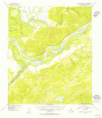
1954 · Kantishna River D-3
USGS Topo · 1:63,360
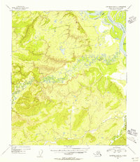
1954 · Kantishna River D-4
USGS Topo · 1:63,360
1954 · Kantishna River C-3
USGS Topo · 1:63,360