
2017 Map of Kantishna River C-4 NW
USGS Topo · Published 2017About this map
The Chitanatala Mountains dominate this high-latitude terrain, showcasing the complex topographic character of the Alaska interior. This landscape is defined by dramatic elevation changes and the high peaks of the western range, including the prominent Lloyd Mtn. The presence of the Alt Z Airport in the southeastern quadrant suggests a vital point of aerial access in an area otherwise devoid of established roads or permanent settlements. Mapped using data from the National Hydrography Dataset and the National Elevation Dataset, the sheet provides a technical look at the drainage patterns and ridgelines that characterize this portion of the Yukon-Koyukuk Census Area. The grid of the Public Land Survey System, including portions of t2s r22w and t3s r21w, overlays the natural features, illustrating the administrative framework applied to this wilderness environment.
Find a feature on this map
7 named features on this map. Tap any name to fly to it.
Don’t see what you’re looking for? This feature index may not catch every label — zoom into the map to look around manually.
Map Details
Editions of this 2017 Kantishna River C-4 NW Map
This is the sole edition of this map. No revisions or reprints were ever made.
Other maps of this area

1948 · Kantishna River
USGS Topo · 1:250,000

1951 · Kantishna River
USGS Topo · 1:250,000

1952 · Kantishna River C-5
USGS Topo · 1:63,360

1952 · Kantishna River D-5
USGS Topo · 1:63,360

1952 · Kantishna River
USGS Topo · 1:250,000

1952 · Kantishna River C-4
USGS Topo · 1:63,360
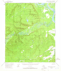
1953 · Kantishna River D-5
USGS Topo · 1:63,360
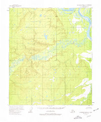
1953 · Kantishna River D-4
USGS Topo · 1:63,360
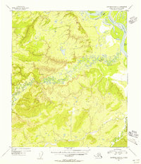
1954 · Kantishna River D-4
USGS Topo · 1:63,360
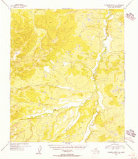
1955 · Kantishna River C-4
USGS Topo · 1:63,360