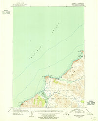
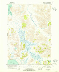
1954 Map of Karluk C-2
USGS Topo · Published 1955About this map
The coastal settlement of Karluk sits prominently along the Shelikof Strait on this 1954 topographic survey, revealing the remote maritime infrastructure of Kodiak Island at mid-century. This map illustrates the vital intersection of land and sea where the Karluk River meets Karluk Anchorage. Local industry and logistics are marked by the presence of Fuel Tanks and scattered Cabins, while the rugged shoreline is defined by notable landmarks like Cape Karluk and Cape Uyak.
Find a feature on this map
20 named features on this map. Tap any name to fly to it.
Don’t see what you’re looking for? This feature index may not catch every label — zoom into the map to look around manually.
Map Details
Editions of this 1954 Karluk C-2 Map
This is the sole edition of this map. No revisions or reprints were ever made.
Other maps of this area

1951 · Karluk
USGS Topo · 1:250,000

1952 · Karluk
USGS Topo · 1:250,000

1952 · Karluk C-2
USGS Topo · 1:63,360

1952 · Karluk B-2
USGS Topo · 1:63,360

1952 · Karluk B-1
USGS Topo · 1:63,360

1952 · Karluk C-1
USGS Topo · 1:63,360
1952 · Karluk B-3
USGS Topo · 1:63,360
1954 · Karluk C-1
USGS Topo · 1:63,360
1954 · Karluk B-1
USGS Topo · 1:63,360
1954 · Karluk B-2
USGS Topo · 1:63,360