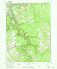
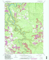
1959 Map of Karthaus
USGS Topo · Published 1972About this map
West Branch Susquehanna River and its deeply incised meanders dominate the landscape of the Clearfield and Centre County border, where the Penn Central railroad tracks follow the river's tight curves. The industrial footprint of the mid-20th century is evident through numerous Strip Mines and the presence of the Karthaus Tunnel. Distinctive clusters of rural life are visible at German Settlement and Cooper Settlement, reflecting the local ethnic and social history of the region.
Find a feature on this map
34 named features on this map. Tap any name to fly to it.
Don’t see what you’re looking for? This feature index may not catch every label — zoom into the map to look around manually.
Map Details
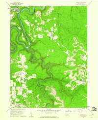
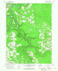
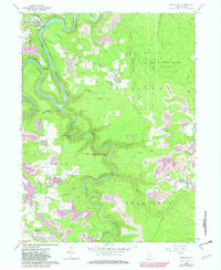
Editions of this 1959 Karthaus Map
5 editions found
Other maps of this area

1908 · Bellefonte
USGS Topo · 1:62,500

1909 · Bellefonte
USGS Topo · 1:62,500

1922 · Philipsburg
USGS Topo · 1:62,500

1928 · Snow Shoe
USGS Topo · 1:48,000

1929 · Karthaus
USGS Topo · 1:62,500

1931 · Show Shoe
USGS Topo · 1:62,500

1932 · Karthaus
USGS Topo · 1:62,500

1939 · Philipsburg
USGS Topo · 1:62,500

1943 · Lewistown
USGS Topo · 1:125,000

1945 · Philipsburg
USGS Topo · 1:62,500