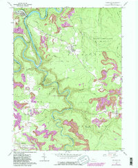
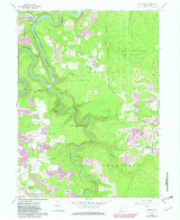
1959 Map of Karthaus
USGS Topo · Published 1982About this map
The West Branch Susquehanna River carves a deep, winding path through the borderlands of Clearfield and Centre counties, defining the northern geography of this region. Near the river's bend, the village of Karthaus serves as a focal point, distinguished by the nearby Karthaus Tunnel and the Conrail line following the water. The landscape is heavily marked by industrial and agricultural patterns, with numerous mines dotting the hillsides and large swaths of protected territory within State Game Lands No 100.
Find a feature on this map
34 named features on this map. Tap any name to fly to it.
Don’t see what you’re looking for? This feature index may not catch every label — zoom into the map to look around manually.
Map Details
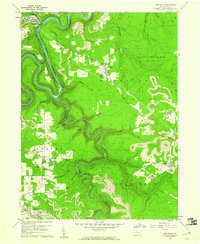
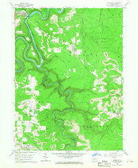
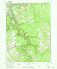
Editions of this 1959 Karthaus Map
5 editions found
Other maps of this area

1908 · Bellefonte
USGS Topo · 1:62,500

1909 · Bellefonte
USGS Topo · 1:62,500

1922 · Philipsburg
USGS Topo · 1:62,500

1928 · Snow Shoe
USGS Topo · 1:48,000

1929 · Karthaus
USGS Topo · 1:62,500

1931 · Show Shoe
USGS Topo · 1:62,500

1932 · Karthaus
USGS Topo · 1:62,500

1939 · Philipsburg
USGS Topo · 1:62,500

1943 · Lewistown
USGS Topo · 1:125,000

1945 · Philipsburg
USGS Topo · 1:62,500