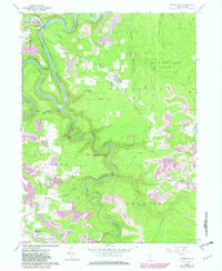
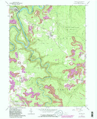
1959 Map of Karthaus
USGS Topo · Published 1982About this map
The West Branch Susquehanna River carves a deep horseshoe through the rugged plateau of central Pennsylvania, defining the border between Clearfield and Centre counties. Along these banks, the settlement of Karthaus sits near the Karthaus Tunnel, where the Conrail line snakes along the river's edge. The landscape is a study in early industrial and agricultural adaptation, featuring distinct clusters such as German Settlement and Cooper Settlement, alongside the crossroads at Drifting.
Find a feature on this map
33 named features on this map. Tap any name to fly to it.
Don’t see what you’re looking for? This feature index may not catch every label — zoom into the map to look around manually.
Map Details
Editions of this 1959 Karthaus Map
5 editions found
Other maps of this area

1908 · Bellefonte
USGS Topo · 1:62,500

1909 · Bellefonte
USGS Topo · 1:62,500

1922 · Philipsburg
USGS Topo · 1:62,500

1928 · Snow Shoe
USGS Topo · 1:48,000

1929 · Karthaus
USGS Topo · 1:62,500

1931 · Show Shoe
USGS Topo · 1:62,500

1932 · Karthaus
USGS Topo · 1:62,500

1939 · Philipsburg
USGS Topo · 1:62,500

1943 · Lewistown
USGS Topo · 1:125,000

1945 · Philipsburg
USGS Topo · 1:62,500