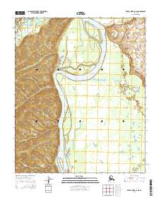
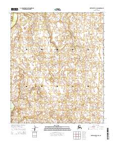
2015 Map of Kateel River A-4 NE
USGS Topo · Published 2015About this map
Koyukuk River bends sharply through this remote interior landscape, where the shifting riverbed and high-relief terrain define the geography. The waterway, a critical artery for transport and subsistence in the Yukon-Koyukuk region, is joined at its northern reach by the Gisasa River. Centered in the drainage is Chips Island, a prominent landform within the braided river system that illustrates the dynamic hydrology of the Alaskan wilderness. The map captures the intricate contour patterns of the western hills, which rise steeply from the riverbanks, providing a detailed look at the natural drainage patterns and topographical boundaries before the area was impacted by modern infrastructure or development.
Find a feature on this map
9 named features on this map. Tap any name to fly to it.
Don’t see what you’re looking for? This feature index may not catch every label — zoom into the map to look around manually.
Map Details
Editions of this 2015 Kateel River A-4 NE Map
This is the sole edition of this map. No revisions or reprints were ever made.
Other maps of this area

1951 · Kateel River
USGS Topo · 1:250,000

1952 · Kateel River A-4
USGS Topo · 1:63,360

1952 · Kateel River A-3
USGS Topo · 1:63,360

1952 · Kateel River B-3
USGS Topo · 1:63,360

1952 · Kateel River B-4
USGS Topo · 1:63,360

1955 · Kateel River
USGS Topo · 1:250,000
2015 · Kateel River A-4 SE
USGS Topo · 1:25,000
2015 · Kateel River B-4 SW
USGS Topo · 1:25,000
2015 · Kateel River A-4 NW
USGS Topo · 1:25,000
2015 · Kateel River B-3 SW
USGS Topo · 1:25,000