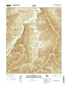
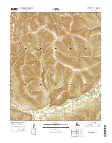
2015 Map of Kateel River B-4 SW
USGS Topo · Published 2015About this map
The Honhosa River winds through this expanse of the Yukon-Koyukuk region, defining the primary drainage pattern across the landscape. The terrain is characterized by detailed contouring that reveals the complex upland ridges and lowland basins typical of the interior Alaskan wilderness. As part of a 2015 survey, the map preserves the Public Land Survey System grid, showing the intersections of townships t1s r4e, t1s r5e, t2s r4e, and t2s r5e. This documentation is essential for understanding land divisions and hydrographic features in an area where the river systems serve as the principal geographic landmarks.
Find a feature on this map
7 named features on this map. Tap any name to fly to it.
Don’t see what you’re looking for? This feature index may not catch every label — zoom into the map to look around manually.
Map Details
Editions of this 2015 Kateel River B-4 SW Map
This is the sole edition of this map. No revisions or reprints were ever made.
Other maps of this area

1951 · Kateel River
USGS Topo · 1:250,000

1952 · Kateel River A-4
USGS Topo · 1:63,360

1952 · Kateel River B-4
USGS Topo · 1:63,360
1952 · Kateel River A-5
USGS Topo · 1:63,360

1954 · Kateel River B-5
USGS Topo · 1:63,360
1954 · Kateel River A-5
USGS Topo · 1:63,360

1955 · Kateel River B-5
USGS Topo · 1:63,360

1955 · Kateel River
USGS Topo · 1:250,000
2015 · Kateel River A-5 NE
USGS Topo · 1:25,000
2015 · Kateel River B-5 SE
USGS Topo · 1:25,000