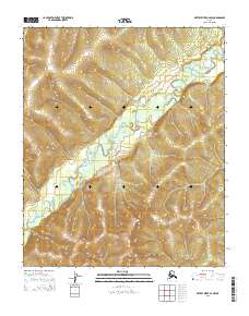
2015 Map of Kateel River A-4 NW
USGS Topo · Published 2015About this map
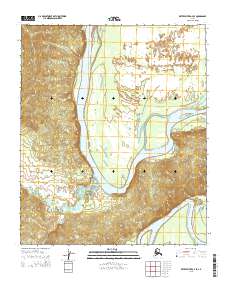
Gisasa River meanders through the interior wilderness of the Nulato Hills in this 2015 topographic record. The landscape is defined by the high, rounded summits of the hills, which reach elevations well above 1,000 feet, casting deep relief over the river valley. The cartography reveals a purely natural environment where drainage patterns and topographic contours provide the only orientation across the terrain. Public land survey markers for t3s r4e, t3s r5e, t4s r4e, and t4s r5e organize this expansive territory, which remains devoid of modern infrastructure or permanent settlements. The map is a vital resource for understanding the hydrography of the Gisasa watershed and the geological structure of the Nulato region during the early 21st century.
Find a feature on this map
6 named features on this map. Tap any name to fly to it.
Don’t see what you’re looking for? This feature index may not catch every label — zoom into the map to look around manually.
Map Details
Editions of this 2015 Kateel River A-4 NW Map
This is the sole edition of this map. No revisions or reprints were ever made.
Other maps of this area

1951 · Kateel River
USGS Topo · 1:250,000

1952 · Kateel River A-4
USGS Topo · 1:63,360

1952 · Kateel River B-4
USGS Topo · 1:63,360
1952 · Kateel River A-5
USGS Topo · 1:63,360

1954 · Kateel River B-5
USGS Topo · 1:63,360
1954 · Kateel River A-5
USGS Topo · 1:63,360

1955 · Kateel River B-5
USGS Topo · 1:63,360

1955 · Kateel River
USGS Topo · 1:250,000
2015 · Kateel River A-5 NE
USGS Topo · 1:25,000
2015 · Kateel River A-4 SE
USGS Topo · 1:25,000