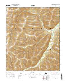
2015 Map of Kateel River A-5 NW
USGS Topo · Published 2015About this map
The Nulato Hills dominate the interior landscape of this region, providing a complex system of ridges and valleys that dictate the path of local watercourses. The Honhosa River carves a winding route through the eastern portion of the territory, its braided channel indicative of the seasonal drainage patterns common to the Yukon-Koyukuk area. This 2015 U.S. Geological Survey representation documents the topography within the Public Land Survey System divisions of T3s R2e, T3s R3e, T4s R2e, and T4s R3e. While largely devoid of named settlements, the map provides precise elevation data for the hills, illustrating the natural barriers and river corridors used by travelers in this part of Alaska.
Find a feature on this map
6 named features on this map. Tap any name to fly to it.
Don’t see what you’re looking for? This feature index may not catch every label — zoom into the map to look around manually.
Map Details
Editions of this 2015 Kateel River A-5 NW Map
This is the sole edition of this map. No revisions or reprints were ever made.
Other maps of this area

1951 · Kateel River
USGS Topo · 1:250,000
1952 · Kateel River A-5
USGS Topo · 1:63,360

1954 · Kateel River B-5
USGS Topo · 1:63,360
1954 · Kateel River A-5
USGS Topo · 1:63,360

1955 · Kateel River B-5
USGS Topo · 1:63,360
1955 · Kateel River A-6
USGS Topo · 1:63,360
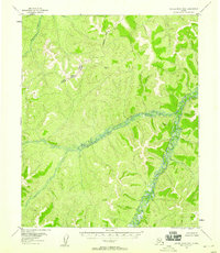
1955 · Kateel River B-6
USGS Topo · 1:63,360

1955 · Kateel River
USGS Topo · 1:250,000
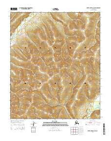
2015 · Kateel River A-5 NE
USGS Topo · 1:25,000
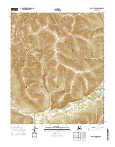
2015 · Kateel River B-5 SE
USGS Topo · 1:25,000