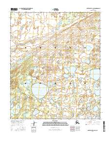
2016 Map of Kateel River B-2 SW
USGS Topo · Published 2016About this map
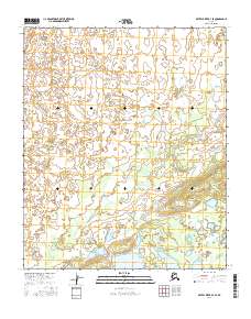
Coffee Can Lake and Shoestring Dune Lake anchor this landscape within the Yukon-Koyukuk region, where the terrain is defined by an intricate network of wetlands and localized elevations. The presence of the Shoestring Dune suggests a specific geomorphic history where wind-blown deposits have shaped the local hydrology, creating the distinct basins for Birch Lake and Black Lake. This 2016 survey reflects the modern hydrographic state of the Alaskan interior, mapped with precision to show the subtle shifts in elevation across the township and range lines of the Seward Meridian. The map is a primary resource for understanding the remote water-and-land patterns of the Kateel River drainage before any significant human development or infrastructure altered the natural drainage.
Find a feature on this map
11 named features on this map. Tap any name to fly to it.
Don’t see what you’re looking for? This feature index may not catch every label — zoom into the map to look around manually.
Map Details
Editions of this 2016 Kateel River B-2 SW Map
This is the sole edition of this map. No revisions or reprints were ever made.
Other maps of this area

1951 · Kateel River
USGS Topo · 1:250,000

1952 · Kateel River A-2
USGS Topo · 1:63,360

1952 · Kateel River A-3
USGS Topo · 1:63,360

1952 · Kateel River B-3
USGS Topo · 1:63,360

1952 · Kateel River B-2
USGS Topo · 1:63,360

1955 · Kateel River
USGS Topo · 1:250,000
2015 · Kateel River B-3 NE
USGS Topo · 1:25,000
2016 · Kateel River B-2 NE
USGS Topo · 1:25,000
2016 · Kateel River A-2 NW
USGS Topo · 1:25,000
2016 · Kateel River B-3 SE
USGS Topo · 1:25,000