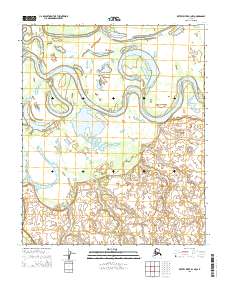
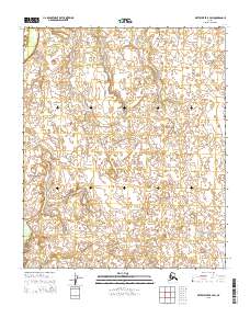
2015 Map of Kateel River B-3 NW
USGS Topo · Published 2015About this map
The Koyukuk River winds through this landscape in dramatic, sweeping oxbows, defining the hydrologic character of the region. This 2015 U.S. Geological Survey representation highlights the complex interaction between active river channels and stagnant water bodies like Sam White Lake and Tiskeet Lake. The presence of Three-Day-Slough and the distinctive elevation of Sand Bluff suggests a terrain shaped by heavy seasonal shifts and silt deposition. Mapping of township boundaries such as t1n r7e and t1s r7e provides a structural framework for this otherwise fluid wilderness, marking the intersection of public land survey lines within the remote interior of Alaska.
Find a feature on this map
9 named features on this map. Tap any name to fly to it.
Don’t see what you’re looking for? This feature index may not catch every label — zoom into the map to look around manually.
Map Details
Editions of this 2015 Kateel River B-3 NW Map
This is the sole edition of this map. No revisions or reprints were ever made.
Other maps of this area

1951 · Kateel River
USGS Topo · 1:250,000

1952 · Kateel River B-3
USGS Topo · 1:63,360

1952 · Kateel River B-4
USGS Topo · 1:63,360

1954 · Kateel River C-4
USGS Topo · 1:63,360

1954 · Kateel River C-3
USGS Topo · 1:63,360

1955 · Kateel River
USGS Topo · 1:250,000
2015 · Kateel River C-3 SW
USGS Topo · 1:25,000
2015 · Kateel River B-4 NE
USGS Topo · 1:25,000
2015 · Kateel River C-4 SE
USGS Topo · 1:25,000
2015 · Kateel River B-3 SW
USGS Topo · 1:25,000