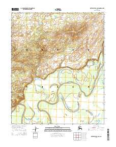
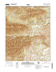
2015 Map of Kateel River C-3 SW
USGS Topo · Published 2015About this map
Hodatic River meanders across this Alaskan landscape, defining the hydrology of a region where water and terrain dictate the movement of people and wildlife. This 2015 record shows the intricate braiding and oxbow formations characteristic of the Three Day Slough, illustrating how the waterway continuously reshapes the surrounding lowlands. The presence of these named water features suggests their importance for navigation or subsistence within the Yukon-Koyukuk region. Beyond the river systems, the topography rises into hills that are meticulously documented with ten-foot contour intervals, providing a detailed understanding of the drainage patterns and elevation changes across the township and range boundaries of the Public Land Survey System.
Find a feature on this map
8 named features on this map. Tap any name to fly to it.
Don’t see what you’re looking for? This feature index may not catch every label — zoom into the map to look around manually.
Map Details
Editions of this 2015 Kateel River C-3 SW Map
This is the sole edition of this map. No revisions or reprints were ever made.
Other maps of this area

1951 · Kateel River
USGS Topo · 1:250,000

1952 · Kateel River B-3
USGS Topo · 1:63,360

1952 · Kateel River B-4
USGS Topo · 1:63,360

1954 · Kateel River C-4
USGS Topo · 1:63,360

1954 · Kateel River C-3
USGS Topo · 1:63,360

1955 · Kateel River
USGS Topo · 1:250,000
2015 · Kateel River B-4 NE
USGS Topo · 1:25,000
2015 · Kateel River C-3 NW
USGS Topo · 1:25,000
2015 · Kateel River C-4 SE
USGS Topo · 1:25,000
2015 · Kateel River C-4 NE
USGS Topo · 1:25,000