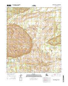
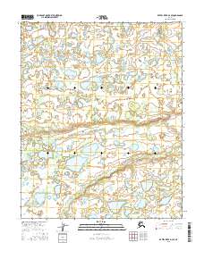
2015 Map of Kateel River C-3 NW
USGS Topo · Published 2015About this map
The Nulitna River winds through the northern reaches of this interior Alaskan landscape, defining the hydrology of a region documented in 2015. This survey captures a remote wilderness within the Yukon-Koyukuk region, where the terrain is marked by the complex drainage patterns of the Dagitli River to the south. The mapping reflects the structured layout of the Public Land Survey System, specifically detailing portions of t4n r7e, t4n r8e, t3n r7e, and t3n r8e. This area is characterized by low-lying wetland systems and subtle elevation shifts, providing an essential record of the natural state of the Alaskan interior before any significant modern development or environmental change was recorded in the mid-2010s.
Find a feature on this map
6 named features on this map. Tap any name to fly to it.
Don’t see what you’re looking for? This feature index may not catch every label — zoom into the map to look around manually.
Map Details
Editions of this 2015 Kateel River C-3 NW Map
This is the sole edition of this map. No revisions or reprints were ever made.
Other maps of this area

1951 · Kateel River
USGS Topo · 1:250,000

1954 · Kateel River C-4
USGS Topo · 1:63,360

1954 · Kateel River C-3
USGS Topo · 1:63,360

1954 · Kateel River D-3
USGS Topo · 1:63,360

1954 · Kateel River D-4
USGS Topo · 1:63,360

1955 · Kateel River
USGS Topo · 1:250,000
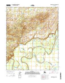
2015 · Kateel River C-3 SW
USGS Topo · 1:25,000
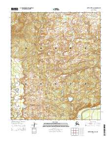
2015 · Kateel River C-4 SE
USGS Topo · 1:25,000
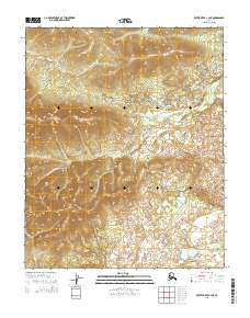
2015 · Kateel River C-4 NE
USGS Topo · 1:25,000
2016 · Kateel River D-3 SE
USGS Topo · 1:25,000