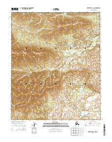
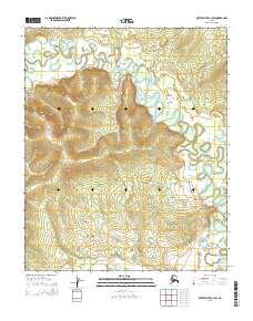
2015 Map of Kateel River C-4 NE
USGS Topo · Published 2015About this map
Nulitna River and Hodatic River define the drainage patterns of this interior Alaskan landscape within the Yukon-Koyukuk region. This 2015 survey illustrates the intricate network of tributaries and wetlands that dominate the lowland areas, contrasted against the rising elevations marked by the Public Land Survey System boundaries of t4n r6e and surrounding townships. The topographic data reveals a complex hydrological system where the rivers meander through a terrain defined by subtle elevation shifts and numerous small water bodies. Researchers can examine the specific path of the Nulitna River as it cuts across the central portion of the quadrangle, providing a clear view of the natural waterways before they reach larger regional systems.
Find a feature on this map
8 named features on this map. Tap any name to fly to it.
Don’t see what you’re looking for? This feature index may not catch every label — zoom into the map to look around manually.
Map Details
Editions of this 2015 Kateel River C-4 NE Map
This is the sole edition of this map. No revisions or reprints were ever made.
Other maps of this area

1951 · Kateel River
USGS Topo · 1:250,000

1954 · Kateel River C-4
USGS Topo · 1:63,360

1954 · Kateel River C-3
USGS Topo · 1:63,360

1954 · Kateel River D-3
USGS Topo · 1:63,360

1954 · Kateel River D-4
USGS Topo · 1:63,360

1955 · Kateel River
USGS Topo · 1:250,000
2015 · Kateel River C-3 SW
USGS Topo · 1:25,000
2015 · Kateel River C-3 NW
USGS Topo · 1:25,000
2015 · Kateel River C-4 SE
USGS Topo · 1:25,000
2015 · Kateel River C-4 SW
USGS Topo · 1:25,000