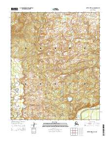
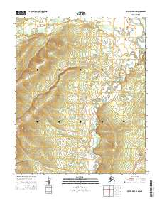
2015 Map of Kateel River C-4 SE
USGS Topo · Published 2015About this map
Hodatic River meanders across this northern landscape, defining the hydrology of a region marked by extensive wetlands and subtle elevation changes. The waterway flows through an intricate network of terrain, where the presence of Three Day Slough in the southeast corner suggests a complex system of seasonal overflows and shifting channels. This 2015 survey illustrates a wilderness environment predominantly shaped by natural water cycles rather than human infrastructure, as evidenced by the total absence of roads or permanent settlements within these township boundaries. The map provides a detailed study of the relationship between the river and its surrounding lowlands, offering a clear view of the natural drainage patterns in the Yukon-Koyukuk region.
Find a feature on this map
11 named features on this map. Tap any name to fly to it.
Don’t see what you’re looking for? This feature index may not catch every label — zoom into the map to look around manually.
Map Details
Editions of this 2015 Kateel River C-4 SE Map
This is the sole edition of this map. No revisions or reprints were ever made.
Other maps of this area

1951 · Kateel River
USGS Topo · 1:250,000

1952 · Kateel River B-3
USGS Topo · 1:63,360

1952 · Kateel River B-4
USGS Topo · 1:63,360

1954 · Kateel River C-4
USGS Topo · 1:63,360

1954 · Kateel River C-3
USGS Topo · 1:63,360

1955 · Kateel River
USGS Topo · 1:250,000
2015 · Kateel River C-3 SW
USGS Topo · 1:25,000
2015 · Kateel River B-4 NE
USGS Topo · 1:25,000
2015 · Kateel River C-3 NW
USGS Topo · 1:25,000
2015 · Kateel River B-4 NW
USGS Topo · 1:25,000