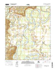
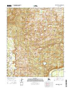
2015 Map of Kateel River B-4 NE
USGS Topo · Published 2015About this map
The Koyukuk River winds through this interior landscape, defining a complex network of active and abandoned river channels. This hydrologic pattern is most evident where the Three Day Slough meanders east of the main channel, illustrating the dynamic shifting of these Arctic waterways over time. In the central portion of the map, the Kateel River makes its final approach to its confluence with the Koyukuk, marking a significant intersection of traditional water travel routes. Aside from the isolated Sam White Lake on the eastern edge, the terrain is dominated by the floodplains and low-lying drainages typical of the Yukon-Koyukuk region. This 2015 survey provides a precise record of the river's course, which is vital for understanding the historical movement and seasonal accessibility of this remote northern territory.
Find a feature on this map
10 named features on this map. Tap any name to fly to it.
Don’t see what you’re looking for? This feature index may not catch every label — zoom into the map to look around manually.
Map Details
Editions of this 2015 Kateel River B-4 NE Map
This is the sole edition of this map. No revisions or reprints were ever made.
Other maps of this area

1951 · Kateel River
USGS Topo · 1:250,000

1952 · Kateel River B-3
USGS Topo · 1:63,360

1952 · Kateel River B-4
USGS Topo · 1:63,360

1954 · Kateel River C-4
USGS Topo · 1:63,360

1954 · Kateel River C-3
USGS Topo · 1:63,360

1955 · Kateel River
USGS Topo · 1:250,000
2015 · Kateel River C-3 SW
USGS Topo · 1:25,000
2015 · Kateel River B-4 SW
USGS Topo · 1:25,000
2015 · Kateel River B-4 NW
USGS Topo · 1:25,000
2015 · Kateel River C-4 SE
USGS Topo · 1:25,000