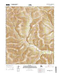
2015 Map of Kateel River C-6 SE
USGS Topo · Published 2015About this map
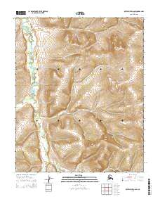
The Continental Divide winds through this high-latitude terrain in the interior of Alaska, shaping the hydrological patterns of the Yukon-Koyukuk region. In this 2015 U.S. Geological Survey representation, the complex drainage of the S Fork Huslia River dominates the northern and southeastern quadrants, while Derby Cr carves a path through the northern highlands. The landscape is defined by its isolation and the intricate contouring of the uplands, with no permanent settlements or road infrastructure present. The map is primarily an exercise in topographic precision, documenting the transition between drainage basins in a region defined by its seasonal river systems. Land division follows the Public Land Survey System, showing segments of t3n r1e, t3n r2e, and surrounding townships. This 2015 edition provides a modern baseline for understanding the physical geography of the Huslia River watershed before any further human encroachment or environmental shifts occur.
Find a feature on this map
9 named features on this map. Tap any name to fly to it.
Don’t see what you’re looking for? This feature index may not catch every label — zoom into the map to look around manually.
Map Details
Editions of this 2015 Kateel River C-6 SE Map
This is the sole edition of this map. No revisions or reprints were ever made.
Other maps of this area

1951 · Kateel River
USGS Topo · 1:250,000

1954 · Kateel River B-5
USGS Topo · 1:63,360

1954 · Kateel River C-6
USGS Topo · 1:63,360

1955 · Kateel River B-5
USGS Topo · 1:63,360
1955 · Kateel River B-6
USGS Topo · 1:63,360
1955 · Kateel River C-5
USGS Topo · 1:63,360

1955 · Kateel River
USGS Topo · 1:250,000
2015 · Kateel River B-5 NW
USGS Topo · 1:25,000
2015 · Kateel River C-6 SW
USGS Topo · 1:25,000
2015 · Kateel River C-6 NE
USGS Topo · 1:25,000