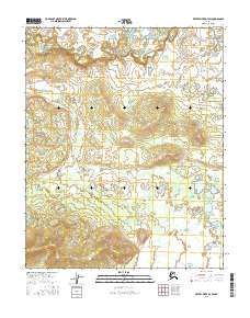
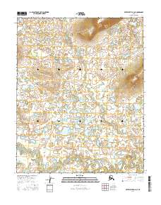
2016 Map of Kateel River D-3 SW
USGS Topo · Published 2016About this map
South Fork Huslia River meanders across the northern portion of this interior Alaskan quadrangle, defining the primary drainage for this remote subarctic landscape. The terrain is characterized by complex hydrology and wetland systems, with the river's winding course creating numerous oxbows and marshy lowlands in the north, contrasting with the more elevated, rising topography in the southern sections. This 2016 survey documents the vast, uninhabited Public Land Survey System townships of T6N R7E and T5N R7E, illustrating a wilderness area defined by natural boundaries rather than human settlement. The absence of roads or established structures highlights the preservation of the landscape's wild character in this section of the Yukon-Koyukuk region.
Find a feature on this map
8 named features on this map. Tap any name to fly to it.
Don’t see what you’re looking for? This feature index may not catch every label — zoom into the map to look around manually.
Map Details
Editions of this 2016 Kateel River D-3 SW Map
This is the sole edition of this map. No revisions or reprints were ever made.
Other maps of this area

1951 · Kateel River
USGS Topo · 1:250,000

1954 · Kateel River C-4
USGS Topo · 1:63,360

1954 · Kateel River C-3
USGS Topo · 1:63,360

1954 · Kateel River D-3
USGS Topo · 1:63,360

1954 · Kateel River D-4
USGS Topo · 1:63,360

1955 · Kateel River
USGS Topo · 1:250,000
2015 · Kateel River C-3 NW
USGS Topo · 1:25,000
2015 · Kateel River C-4 NE
USGS Topo · 1:25,000
2016 · Kateel River D-3 NW
USGS Topo · 1:25,000
2016 · Kateel River D-4 NE
USGS Topo · 1:25,000