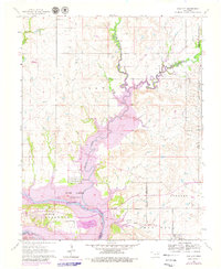
1964 Map of Kaw City
USGS Topo · Published 1979About this map
Kaw City sits at the heart of this landscape, positioned where the Arkansas River meets the expansive waters of Kaw Lake. The map illustrates a dramatic transformation of the Kay County terrain, as purple revisions indicate the planned flooding of the Arkansas River valley to create the reservoir. This change significantly impacted the local topography, particularly near the settlement of Washunga and the historic Washunga Cem.
Find a feature on this map
23 named features on this map. Tap any name to fly to it.
Don’t see what you’re looking for? This feature index may not catch every label — zoom into the map to look around manually.
Map Details
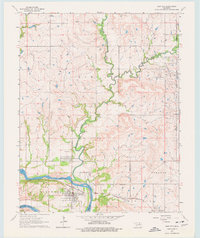
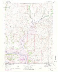
Editions of this 1964 Kaw City Map
4 editions found

Other maps of this area

1916 · Foraker
USGS Topo · 1:62,500

1932 · Fairfax
USGS Topo · 1:62,500

1935 · Kaw
USGS Topo · 1:62,500

1936 · Belford
USGS Topo · 1:62,500

1955 · Enid
USGS Topo · 1:250,000

1958 · Enid
USGS Topo · 1:250,000

1963 · Charley Creek
USGS Topo · 1:24,000

1963 · Uncas
USGS Topo · 1:24,000

1963 · Kaw City NW
USGS Topo · 1:24,000

1964 · Charley Creek NE
USGS Topo · 1:24,000