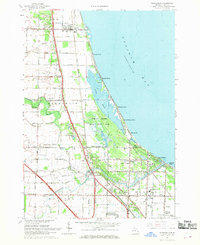
1967 Map of Kawkawlin
USGS Topo · Published 1969About this map
Saginaw Bay defines the eastern edge of this Michigan landscape, where the shoreline is dotted with small residential developments like Lagoon Beach and Linwood Beach. The interior reflects a complex drainage system essential for the low-lying terrain, characterized by a network of named ditches such as Rosebush Drain and Indian Town Drain. The Kawkawlin River and its North Branch wind through the southern sections, anchoring the village of Kawkawlin.
Find a feature on this map
77 named features on this map. Tap any name to fly to it.
Don’t see what you’re looking for? This feature index may not catch every label — zoom into the map to look around manually.
Map Details
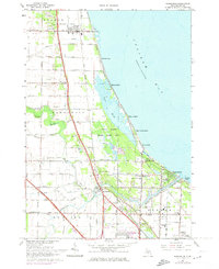
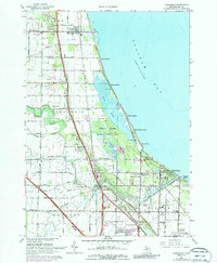
Editions of this 1967 Kawkawlin Map
3 editions found
Other maps of this area

1916 · Bay City
USGS Topo · 1:62,500

1919 · Bay City
USGS Topo · 1:62,500

1943 · Bay City
USGS Topo · 1:62,500

1954 · Midland
USGS Topo · 1:250,000

1954 · Flint
USGS Topo · 1:250,000

1958 · Flint
USGS Topo · 1:250,000

1958 · Midland
USGS Topo · 1:250,000

1959 · Midland
USGS Topo · 1:250,000

1962 · Willard
USGS Topo · 1:24,000
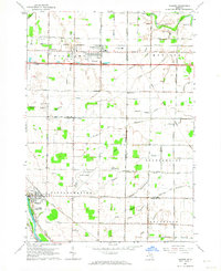
1962 · Auburn
USGS Topo · 1:24,000
Featured Places
- Kawkawlin, Monitor Township
- Linwood, Fraser Township
- Kawkawlin Township, MI
- Monitor Township, MI
- Fraser Township, MI