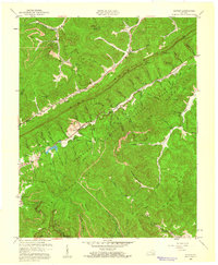
1959 Map of Kayjay
USGS Topo · Published 1960About this map
Pine Mountain and the Log Mountains dominate this Cumberland Plateau landscape, where the coal economy of the late 1950s is etched into the topography. The mining community of Kayjay sits at the northern edge of the map, served by the Nashville and Louisville RR, while extensive strip mines follow the high ridges nearby. In the valleys, a network of country schools like Buckeye Sch and Pine Grove Sch served remote settlements such as Davisburg and Chenoa. The map reveals the early footprint of the Kentucky State Forest, punctuated by the Kentucky Ridge Lookout Tower. Water resources are central to the terrain, from Chenoa Lake to the drainage of the Clear Fork. This survey documents a transition period as large-scale industrial extraction reshaped the ancient ridges while traditional hollow communities, centered around churches like Centennial Ch, still defined the social geography of Bell County.
Find a feature on this map
79 named features on this map. Tap any name to fly to it.
Don’t see what you’re looking for? This feature index may not catch every label — zoom into the map to look around manually.
Map Details
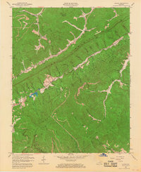
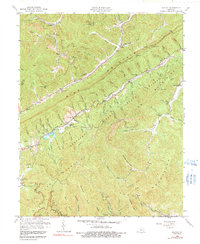
Editions of this 1959 Kayjay Map
3 editions found
Other maps of this area

1886 · Cumberland Gap
USGS Topo · 1:125,000

1888 · Cumberland Gap
USGS Topo · 1:125,000

1891 · Cumberland Gap
USGS Topo · 1:125,000

1903 · Pineville
USGS Topo · 1:48,000

1903 · Middlesboro
USGS Topo · 1:48,000

1927 · Middlesboro
USGS Topo · 1:62,500

1930 · Middlesboro
USGS Topo · 1:62,500

1935 · Mingo Mountains
USGS Topo · 1:24,000

1935 · Cumberland Gap
USGS Topo · 1:24,000
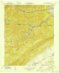
1950 · Mingo Mountains
USGS Topo · 1:24,000