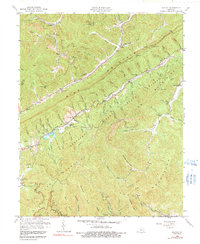
1959 Map of Kayjay
USGS Topo · Published 1991About this map
The Louisville and Nashville railroad winds through the deep valleys of Bell County, serving an economy deeply rooted in resource extraction. Numerous strip mines and individual mines dot the landscape surrounding settlements like Kayjay and Wheeler, illustrating the intensive coal production of the late 1950s. The terrain is dominated by the massive ridges of Pine Mountain and Log Mountain, with much of the eastern portion preserved within the Kentucky Ridge State Forest. Local genealogy and social history are anchored by rural institutions, including Fuson Chapel, Centennial Ch, and several family-named burial grounds like Bratcher Cem and Jones Cem. From the small community of Logmont in the south to the schools at Buckeye Sch and Pine Grove Sch, the map traces a network of mountain roads and hollows that once defined life in the Kentucky coalfields.
Find a feature on this map
99 named features on this map. Tap any name to fly to it.
Don’t see what you’re looking for? This feature index may not catch every label — zoom into the map to look around manually.
Map Details
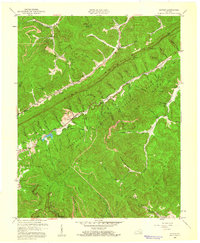
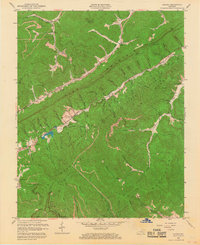
Editions of this 1959 Kayjay Map
3 editions found
Other maps of this area

1886 · Cumberland Gap
USGS Topo · 1:125,000

1888 · Cumberland Gap
USGS Topo · 1:125,000

1891 · Cumberland Gap
USGS Topo · 1:125,000

1903 · Pineville
USGS Topo · 1:48,000

1903 · Middlesboro
USGS Topo · 1:48,000

1927 · Middlesboro
USGS Topo · 1:62,500

1930 · Middlesboro
USGS Topo · 1:62,500

1935 · Mingo Mountains
USGS Topo · 1:24,000

1935 · Cumberland Gap
USGS Topo · 1:24,000
1950 · Mingo Mountains
USGS Topo · 1:24,000