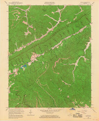
1959 Map of Kayjay
USGS Topo · Published 1968About this map
Pine Mountain and Log Mountain dominate this terrain in Bell County, where mid-century industrial extraction meets protected woodlands. Extensive Strip Mine operations are visible across the northern and southern ridges, particularly near the settlements of Kayjay and Chenoa. The Kentucky Ridge State Forest covers a significant portion of the central landscape, anchored by the Kentucky Ridge Lookout Tower on a high ridge. The Nashville and Knoxville RR follows the winding path of Clear Fork through the mountains, serving a series of small communities like Wheeler and Davisburg. For local historians, the map preserves the locations of numerous family and community landmarks, including Fuson Chapel, Old Carroll Cem, and rural educational sites like Buckeye Sch. These small settlements are often positioned at the base of gaps, such as Fuson Gap and Lee Gap, which provided essential passage through the steep terrain.
Find a feature on this map
84 named features on this map. Tap any name to fly to it.
Don’t see what you’re looking for? This feature index may not catch every label — zoom into the map to look around manually.
Map Details
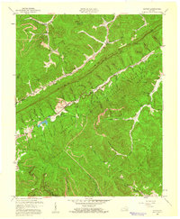
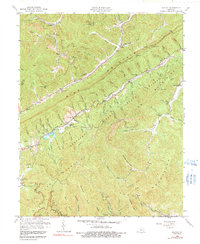
Editions of this 1959 Kayjay Map
3 editions found
Other maps of this area

1886 · Cumberland Gap
USGS Topo · 1:125,000

1888 · Cumberland Gap
USGS Topo · 1:125,000

1891 · Cumberland Gap
USGS Topo · 1:125,000

1903 · Pineville
USGS Topo · 1:48,000

1903 · Middlesboro
USGS Topo · 1:48,000

1927 · Middlesboro
USGS Topo · 1:62,500

1930 · Middlesboro
USGS Topo · 1:62,500

1935 · Mingo Mountains
USGS Topo · 1:24,000

1935 · Cumberland Gap
USGS Topo · 1:24,000
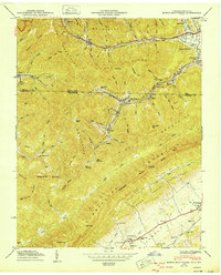
1950 · Mingo Mountains
USGS Topo · 1:24,000