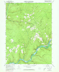
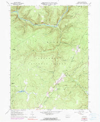
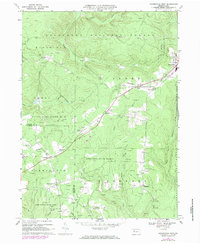
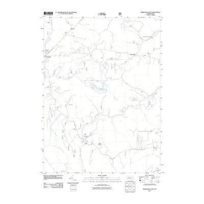
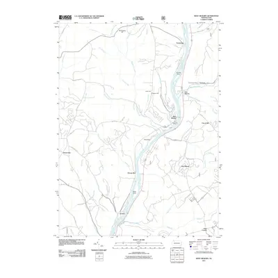
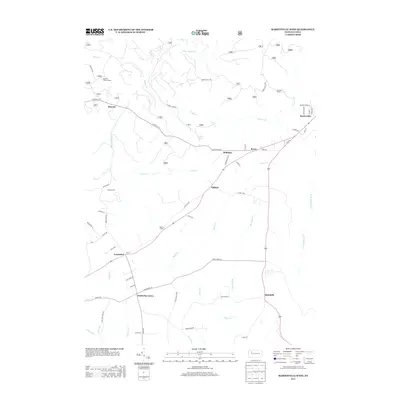
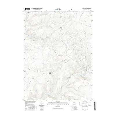
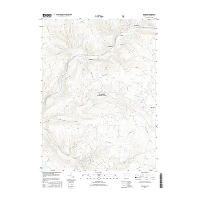
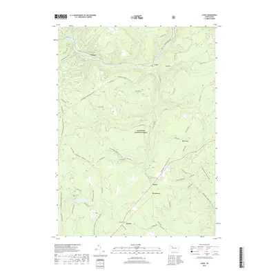
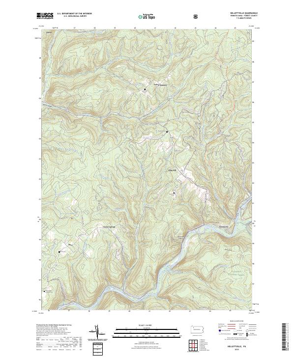
1966 Map of Kelletteville
USGS Topo · Published 1973About this map
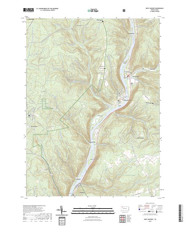
Tionesta Creek carves a deep, winding path through this portion of the Allegheny National Forest, where the landscape is defined by its industrial and ecclesiastical history. Small settlements and rural hubs like Kellettville and Endeavor anchor the region, connected by a network of drainage systems including Beaver Run, Wolf Run, and Queen Creek. The map documents a transition in transportation, showing an Old Railroad Grade that speaks to earlier timber or resource extraction eras, now bypassed by local roads.
Find a feature on this map
51 named features on this map. Tap any name to fly to it.
Don’t see what you’re looking for? This feature index may not catch every label — zoom into the map to look around manually.
Map Details
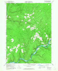
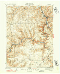
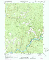
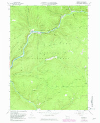
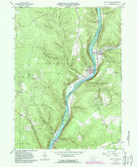
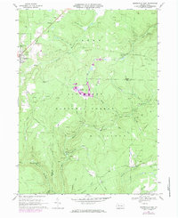
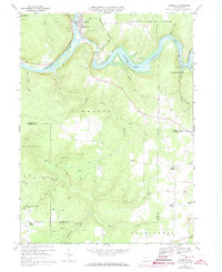
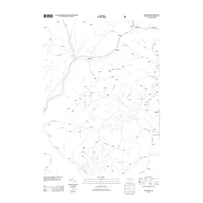
Editions of this 1966 Kelletteville Map
3 editions found
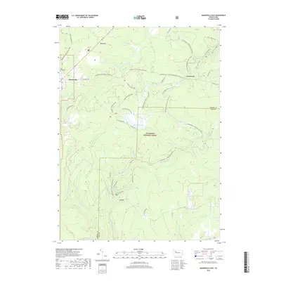
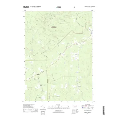
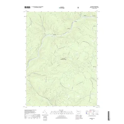
Historical Maps of Hickory Township Through Time
46 maps found

1918 Loleta
Forest County, PA

1935 Sheffield
Forest County, PA
1941 Sheffield
Forest County, PA
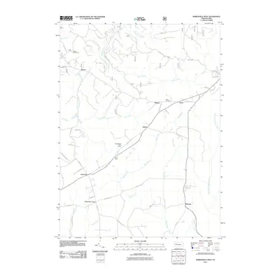
1966 Kellettville
Forest County, PA
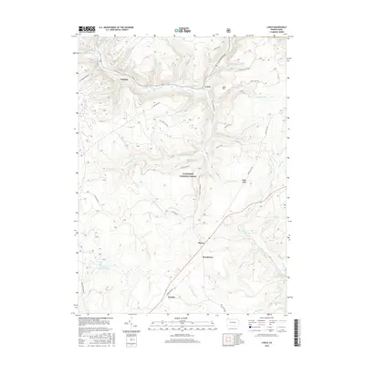
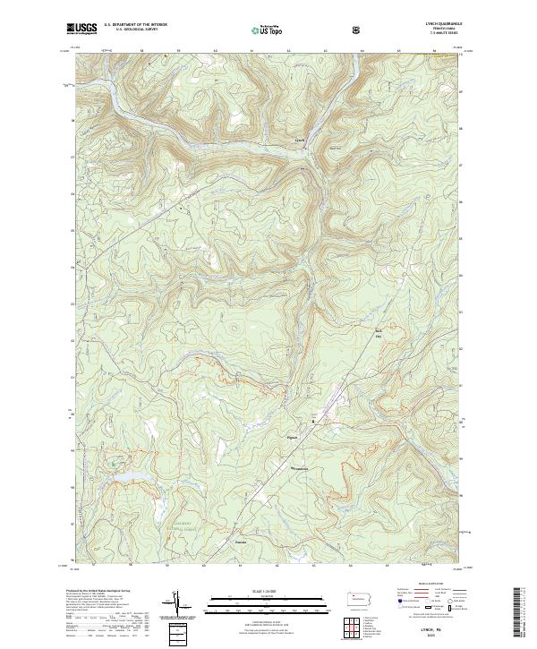
1966 Lynch
Forest County, PA
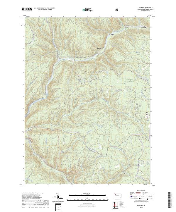
1966 Mayburg
Forest County, PA
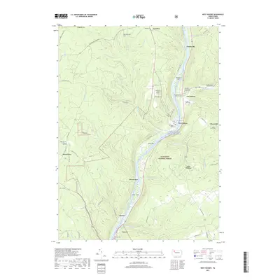
1966 West Hickory
Forest County, PA
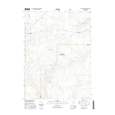
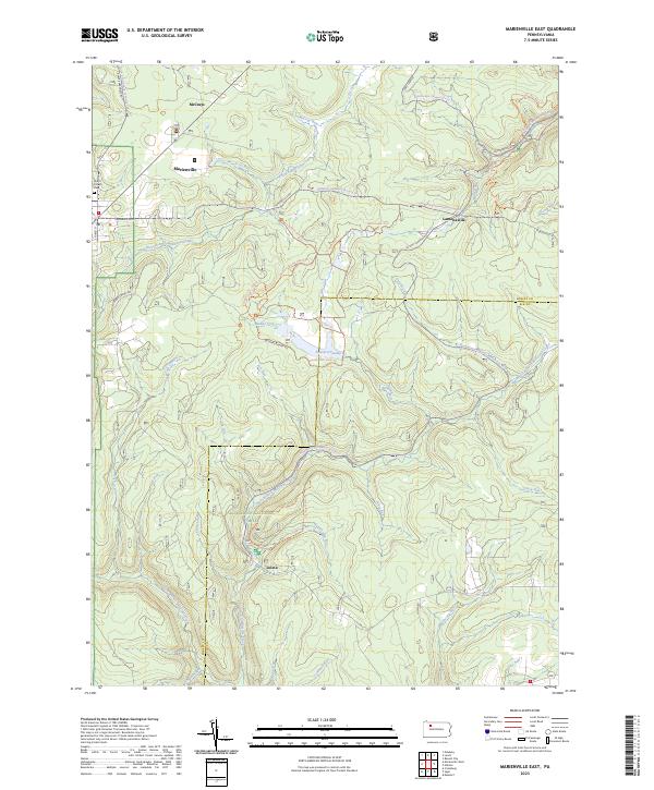
1967 Marienville East
Forest County, PA
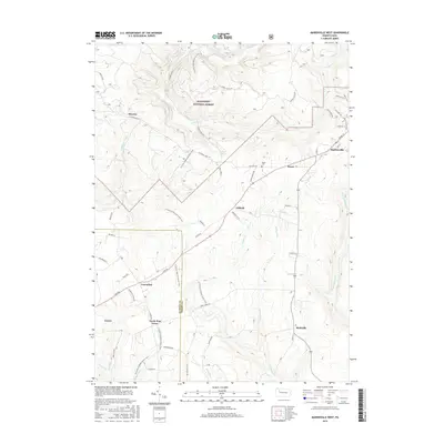
1967 Marienville West
Forest County, PA
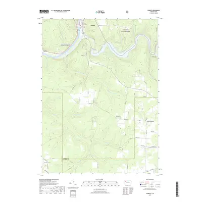
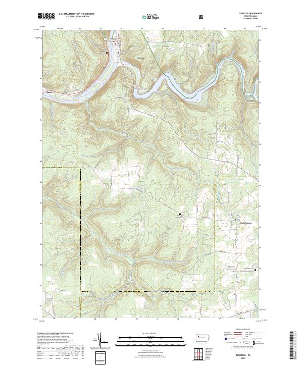
1967 Tionesta
Forest County, PA

1997 West Hickory
Forest County, PA
2011 Kellettville
Forest County, PA
2011 Lynch
Forest County, PA
2011 Marienville East
Forest County, PA
2011 Marienville West
Forest County, PA
2011 Mayburg
Forest County, PA
2011 Tionesta
Forest County, PA
2011 West Hickory
Forest County, PA
2013 Kellettville
Forest County, PA
2013 Lynch
Forest County, PA
2013 Marienville East
Forest County, PA
2013 Marienville West
Forest County, PA
2013 Mayburg
Forest County, PA
2013 Tionesta
Forest County, PA
2013 West Hickory
Forest County, PA
2016 Kellettville
Forest County, PA
2016 Lynch
Forest County, PA
2016 Marienville East
Forest County, PA
2016 Marienville West
Forest County, PA
2016 Mayburg
Forest County, PA
2016 Tionesta
Forest County, PA
2016 West Hickory
Forest County, PA
2019 Kellettville
Forest County, PA
2019 Lynch
Forest County, PA
2019 Marienville East
Forest County, PA
2019 Marienville West
Forest County, PA
2019 Mayburg
Forest County, PA
2019 Tionesta
Forest County, PA
2019 West Hickory
Forest County, PA
2023 Kellettville
Forest County, PA
2023 Lynch
Forest County, PA
2023 Marienville East
Forest County, PA

2023 Marienville West
Forest County, PA
2023 Mayburg
Forest County, PA
2023 Tionesta
Forest County, PA
2023 West Hickory
Forest County, PA
Featured Locations
- Green Township, PA
- Hickory Township, PA
- Kingsley Township, PA
- Yellow Hammer, Hickory Township
- Crystal Springs, Kingsley Township