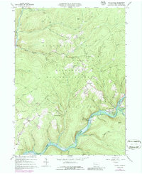
1966 Map of Kellettville
USGS Topo · Published 1986About this map
The Tionesta Creek corridor winds through the heart of the Allegheny National Forest, revealing a landscape defined by industrial gas wells and deep timbered valleys. This 1966 survey, revised in 1973, centers on Kellettville at the confluence of Salmon Creek and the river, showing the town just before it was impacted by the waters of Lake Tionesta. The map tracks the shift from traditional forest settlements to a landscape of energy extraction, with numerous gas wells dotting the drainages of Hickory Creek and Otter Run. Local family and community landmarks like Whig Hill Cem and Kiffer Hill Ch remain as anchors for genealogists, while the geography of Old Railroad Run points to the area's logging history and transport networks through the Hickory and Kingsley townships.
Find a feature on this map
47 named features on this map. Tap any name to fly to it.
Don’t see what you’re looking for? This feature index may not catch every label — zoom into the map to look around manually.
Map Details
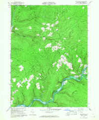
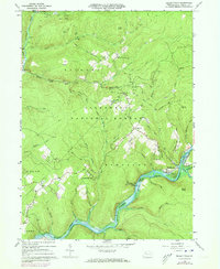
Editions of this 1966 Kellettville Map
3 editions found
Other maps of this area

1918 · Loleta
USGS Topo · 1:62,500

1922 · Tionesta
USGS Topo · 1:62,500

1924 · Tionesta
USGS Topo · 1:62,500

1927 · Tidioute
USGS Topo · 1:48,000

1930 · Tidioute
USGS Topo · 1:62,500

1935 · Sheffield
USGS Topo · 1:48,000

1936 · Marienville
USGS Topo · 1:48,000

1941 · Sheffield
USGS Topo · 1:62,500

1941 · Marienville
USGS Topo · 1:62,500

1946 · Tionesta
USGS Topo · 1:62,500
Featured Places
- Hickory Township, PA
- Kingsley Township, PA
- Crystal Springs, Kingsley Township
- Green Township, PA
- Yellow Hammer, Hickory Township