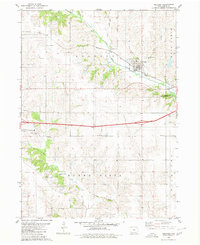
1980 Map of Kellogg
USGS Topo · Published 1980About this map
Kellogg sits at the junction of rail and river in Jasper County, where the Chicago Rock Island and Pacific railroad follows the valley of the North Skunk River. This 1980 map documents the agricultural and civic landscape of Buena Vista and Richland townships, highlighting a network of rural institutions such as the Beacon Light Sch and Pleasant View Ch. The topography is defined by the dissection of the uplands by several waterways, including Alloway Cr and Burr Oak Creek.
Find a feature on this map
28 named features on this map. Tap any name to fly to it.
Don’t see what you’re looking for? This feature index may not catch every label — zoom into the map to look around manually.
Map Details
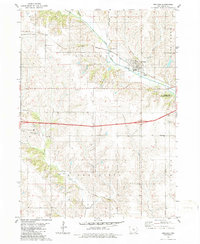
Editions of this 1980 Kellogg Map
2 editions found
Other maps of this area

1954 · Des Moines
USGS Topo · 1:250,000

1956 · Des Moines
USGS Topo · 1:250,000

1957 · Des Moines
USGS Topo · 1:250,000

1965 · Newton
USGS Topo · 1:24,000

1965 · Monroe
USGS Topo · 1:24,000

1969 · Des Moines
USGS Topo · 1:250,000

1975 · Baxter SE
USGS Topo · 1:24,000

1980 · Newburg
USGS Topo · 1:24,000

1980 · Sully
USGS Topo · 1:24,000
1980 · Alloway Creek
USGS Topo · 1:24,000